Aachen night lights from space
Night Light of Aachen (North Rhine-Westphalia) from space (Germany) Src. Average luminocity for 10x10km area is 60.9272% and for 50x50km: 21.1198%.
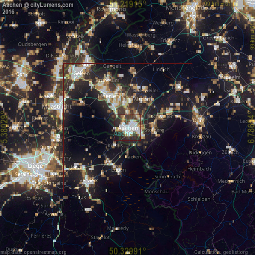
Analysis of Aachen night lights 2016
Square area 10x10 km:
 16.95%
90-99
16.39%80-89
7.42%70-79
3.5%60-69
4.62%50-59
6.16%40-49
5.74%30-39
13.03%20-29
20.03%10-19
6.16%0-9
0%Square area 50x50 km:
2.81%90-99
3.93%80-89
1.87%70-79
1.96%60-69
2.56%50-59
2.95%40-49
2.83%30-39
3.9%20-29
7.98%10-19
18.85%0-9
50.37%Clear (daylight) street map image can be seen on geolist.org.
Map coordinates:
51° 13' 8.9" North, 5° 22' 49" East
50° 46' 35.9" North, 6° 5' 0.3" East
50° 19' 47.7" North, 6° 47' 11.5" East
Some cities around Aachen sort by population:
• Stolberg
10 km =6.2 mi,  91°
91°
• Kerkrade, NL
10 km =6.2 mi,  351°
351°
• Herzogenrath
10.3 km =6.4 mi,  3°
3°
• Würselen
5.9 km =3.7 mi,  38°
38°
• La Calamine, BE
8.3 km =5.2 mi,  218°
218°
• Raeren, BE
12.4 km =7.7 mi,  169°
169°
• Plombières, BE
9.8 km =6.1 mi,  242°
242°
• Vaals, NL
4.6 km =2.9 mi,  261°
261°
3247449 (p: 265,208)
Sources (retrieved 2019-11-25):
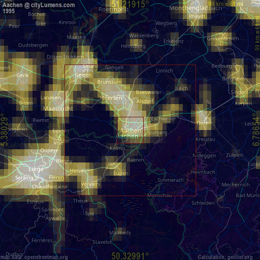
» NASA, Earths city lights 1995
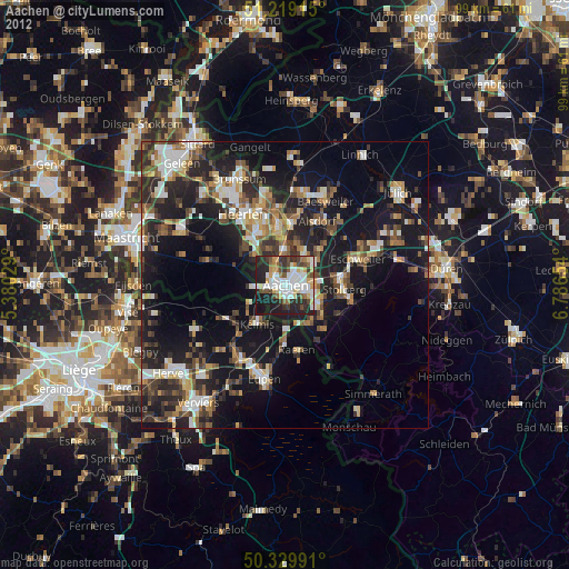
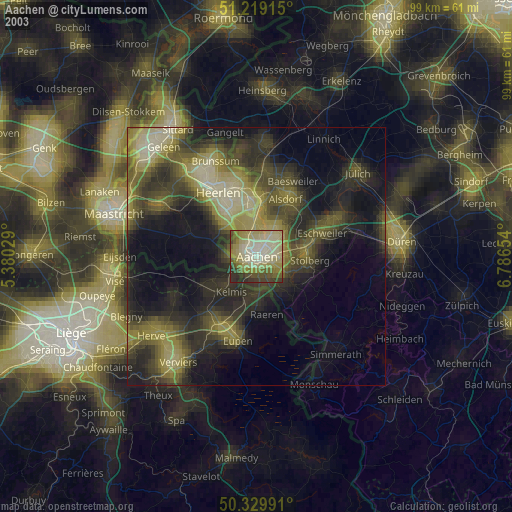
» NASA city lights 2003
» Earth at Night: Flat Maps 2012, 2016