Ratingen night lights from space
Night Light of Ratingen (North Rhine-Westphalia) from space (Germany) Src. Average luminocity for 10x10km area is 45.444% and for 50x50km: 48.6732%.
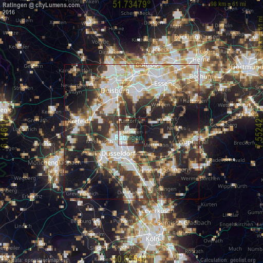
Analysis of Ratingen night lights 2016
Square area 10x10 km:
 9.94%
9.94%90-99
12.89%80-89
2.94%70-79
2.8%60-69
1.82%50-59
3.22%40-49
7.28%30-39
13.59%20-29
15.83%10-19
25.63%0-9
4.06%Square area 50x50 km:
10.73%90-99
11.26%80-89
4.97%70-79
5.31%60-69
5.22%50-59
5.75%40-49
6.37%30-39
9.28%20-29
13.66%10-19
17.54%0-9
9.91%Clear (daylight) street map image can be seen on geolist.org.
Map coordinates:
51° 44' 5.2" North, 6° 8' 46.2" East
51° 17' 50.1" North, 6° 50' 57.4" East
50° 51' 19.7" North, 7° 33' 8.7" East
Some cities around Ratingen sort by population:
• Düsseldorf
9.8 km =6.1 mi,  211°
211°
• Velbert
14.1 km =8.8 mi,  72°
72°
• Meerbusch
12.3 km =7.6 mi,  246°
246°
• Erkrath
9.3 km =5.8 mi,  153°
153°
• Mettmann
10.2 km =6.3 mi,  120°
120°
• Düsseldorf-Pempelfort
7.9 km =4.9 mi, 213°
• Heiligenhaus
9.1 km =5.7 mi, 68°
• Wülfrath
13.2 km =8.2 mi,  97°
97°
2850174 (p: 91,606)
Sources (retrieved 2019-11-25):
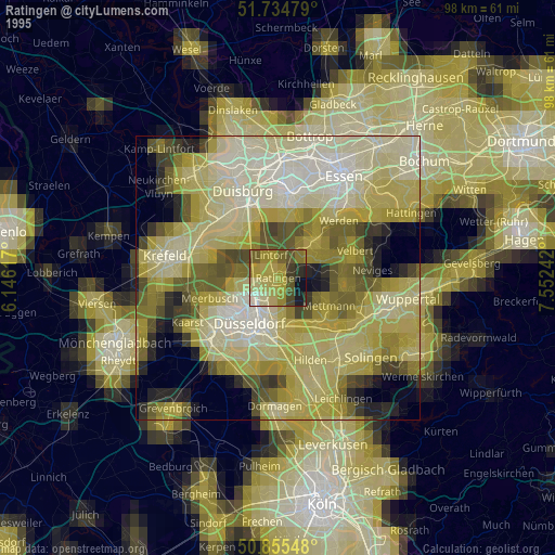
» NASA, Earths city lights 1995
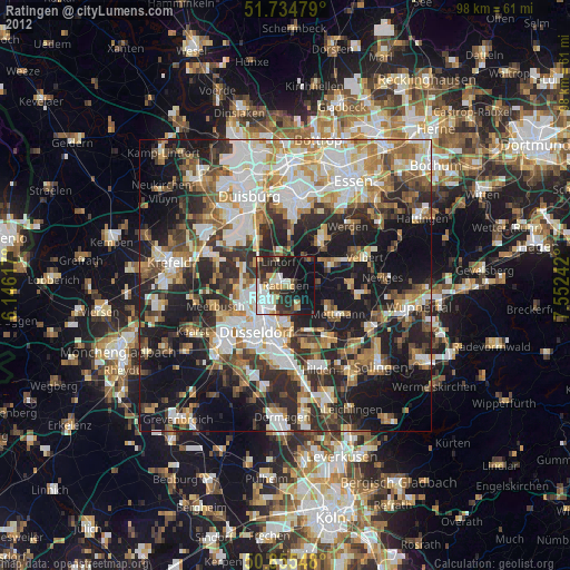
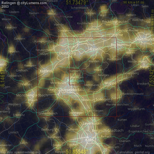
» NASA city lights 2003
» Earth at Night: Flat Maps 2012, 2016