Bochum night lights from space
Night Light of Bochum (North Rhine-Westphalia) from space (Germany) Src. Average luminocity for 10x10km area is 79.8864% and for 50x50km: 43.3529%.
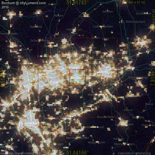
Analysis of Bochum night lights 2016
Square area 10x10 km:
 19.39%
90-99
22.33%80-89
12.7%70-79
10.7%60-69
17.78%50-59
11.1%40-49
4.01%30-39
1.34%20-29
0.67%10-19
0%0-9
0%Square area 50x50 km:
7.88%90-99
8.68%80-89
4.9%70-79
5.52%60-69
6.56%50-59
6.66%40-49
5.58%30-39
6.3%20-29
11.79%10-19
19.32%0-9
16.82%Clear (daylight) street map image can be seen on geolist.org.
Map coordinates:
51° 55' 2.7" North, 6° 30' 48.1" East
51° 28' 53.9" North, 7° 12' 59.3" East
51° 2' 30" North, 7° 55' 10.6" East
Some cities around Bochum sort by population:
• Essen
14.4 km =8.9 mi,  258°
258°
• Gelsenkirchen
8.7 km =5.4 mi,  287°
287°
• Herne
6.4 km =4 mi,  5°
5°
• Recklinghausen
14.8 km =9.2 mi,  354°
354°
• Witten
10.3 km =6.4 mi,  114°
114°
• Castrop-Rauxel
10.6 km =6.6 mi,  38°
38°
• Herten
13.7 km =8.5 mi,  338°
338°
• Hattingen
9.4 km =5.8 mi,  193°
193°
2947416 (p: 385,729)
Sources (retrieved 2019-11-25):
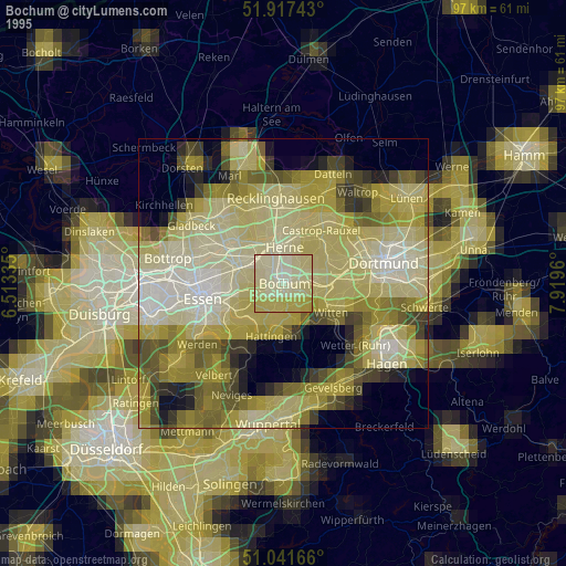
» NASA, Earths city lights 1995
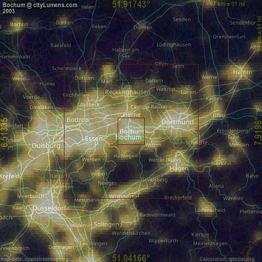
» NASA city lights 2003
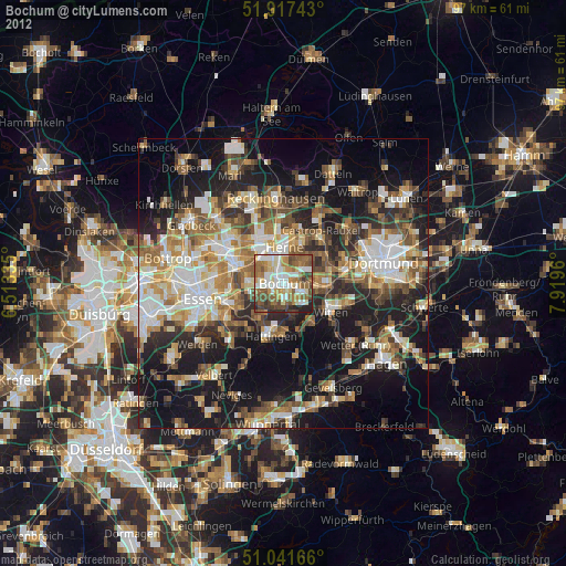
» Earth at Night: Flat Maps 2012, 2016