Hagen night lights from space
Night Light of Hagen (North Rhine-Westphalia) from space (Germany) Src. Average luminocity for 10x10km area is 43.2689% and for 50x50km: 29.102%.
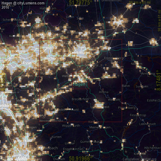
Analysis of Hagen night lights 2016
Square area 10x10 km:
 5.6%
5.6%90-99
7.84%80-89
5.32%70-79
7.28%60-69
5.04%50-59
6.58%40-49
7.42%30-39
4.62%20-29
15.97%10-19
29.83%0-9
4.48%Square area 50x50 km:
4.08%90-99
4.94%80-89
2.97%70-79
3.81%60-69
4.81%50-59
4.75%40-49
4.56%30-39
4.8%20-29
8.49%10-19
16.08%0-9
40.69%Clear (daylight) street map image can be seen on geolist.org.
Map coordinates:
51° 47' 51.9" North, 6° 46' 6.8" East
51° 21' 38.9" North, 7° 28' 18" East
50° 55' 10.8" North, 8° 10' 29.3" East
Some cities around Hagen sort by population:
• Witten
12.4 km =7.7 mi,  318°
318°
• Schwerte
11.4 km =7.1 mi,  35°
35°
• Gevelsberg
10.3 km =6.4 mi,  243°
243°
• Ennepetal
10.3 km =6.4 mi,  227°
227°
• Wetter (Ruhr)
6.2 km =3.9 mi,  298°
298°
• Herdecke
5 km =3.1 mi,  330°
330°
• Breckerfeld
11.3 km =7 mi,  181°
181°
• Nachrodt-Wiblingwerde
11.2 km =7 mi,  115°
115°
2912621 (p: 198,972)
Sources (retrieved 2019-11-25):
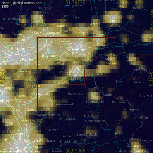
» NASA, Earths city lights 1995
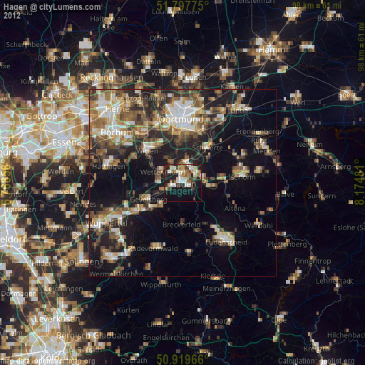
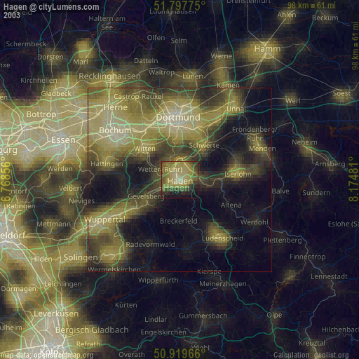
» NASA city lights 2003
» Earth at Night: Flat Maps 2012, 2016