Marienheide night lights from space
Night Light of Marienheide (North Rhine-Westphalia) from space (Germany) Src. Average luminocity for 10x10km area is 1.4559% and for 50x50km: 6.4567%.
Analysis of Marienheide night lights 2016
Square area 10x10 km:
 0%
0%90-99
0%80-89
0%70-79
0.27%60-69
0%50-59
0.27%40-49
0.53%30-39
1.07%20-29
0%10-19
1.07%0-9
96.79%Square area 50x50 km:
0.62%90-99
0.87%80-89
0.51%70-79
1.04%60-69
0.97%50-59
0.99%40-49
1.1%30-39
0.85%20-29
1.9%10-19
3.96%0-9
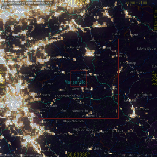
87.19%Clear (daylight) street map image can be seen on geolist.org.
Map coordinates:
51° 31' 21.9" North, 6° 49' 39.9" East
51° 4' 59.4" North, 7° 31' 51.1" East
50° 38' 21.7" North, 8° 14' 2.4" East
Some cities around Marienheide sort by population:
• Gummersbach
6.8 km =4.2 mi,  159°
159°
• Wipperfürth
9.9 km =6.2 mi,  291°
291°
• Lindlar
12.8 km =8 mi,  236°
236°
• Meinerzhagen
8.6 km =5.3 mi,  71°
71°
• Engelskirchen
13.3 km =8.3 mi,  217°
217°
• Bergneustadt
10.9 km =6.8 mi,  126°
126°
• Kierspe
7 km =4.3 mi,  36°
36°
• Halver
11.7 km =7.3 mi,  348°
348°
2873574 (p: 13,759)
Sources (retrieved 2019-11-25):
» Earth at Night: Flat Maps 2012, 2016