Winsen night lights from space
Night Light of Winsen (Lower Saxony) from space (Germany) Src. Average luminocity for 10x10km area is 9.3228% and for 50x50km: 13.9491%.
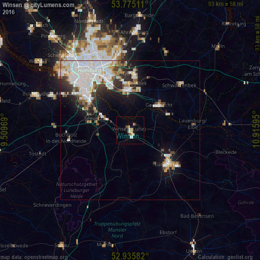
Analysis of Winsen night lights 2016
Square area 10x10 km:
 1.32%
1.32%90-99
0.93%80-89
1.98%70-79
1.85%60-69
0.26%50-59
1.06%40-49
1.06%30-39
1.06%20-29
0%10-19
1.46%0-9
89.02%Square area 50x50 km:
5.13%90-99
2.98%80-89
0.84%70-79
1%60-69
1.14%50-59
1.15%40-49
1.26%30-39
1.39%20-29
2.56%10-19
5.19%0-9
77.36%Clear (daylight) street map image can be seen on geolist.org.
Map coordinates:
53° 46' 30.4" North, 9° 30' 34.9" East
53° 21' 27.1" North, 10° 12' 46.2" East
52° 56' 9" North, 10° 54' 57.4" East
Some cities around Winsen sort by population:
• Bergedorf
14.2 km =8.8 mi,  4°
4°
• Seevetal
17 km =10.6 mi,  286°
286°
• Geesthacht
14 km =8.7 mi,  51°
51°
• Wentorf bei Hamburg
16 km =9.9 mi,  8°
8°
• Stelle
7.4 km =4.6 mi, 293°
• Adendorf
17.2 km =10.7 mi,  119°
119°
• Reppenstedt
15 km =9.3 mi,  142°
142°
• Bardowick
13.6 km =8.5 mi, 121°
2807845 (p: 32,662)
Sources (retrieved 2019-11-25):
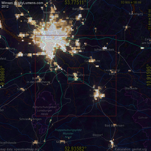
» Earth at Night: Flat Maps 2012, 2016