Wetter night lights from space
Night Light of Wetter (Hesse) from space (Germany) Src. Average luminocity for 10x10km area is 0.1835% and for 50x50km: 1.2909%.
Analysis of Wetter night lights 2016
Square area 10x10 km:
 0%
0%90-99
0%80-89
0%70-79
0%60-69
0%50-59
0%40-49
0%30-39
0%20-29
0%10-19
0%0-9
100%Square area 50x50 km:
0.18%90-99
0.23%80-89
0.04%70-79
0.12%60-69
0.29%50-59
0.15%40-49
0.16%30-39
0.2%20-29
0.18%10-19
0.43%0-9
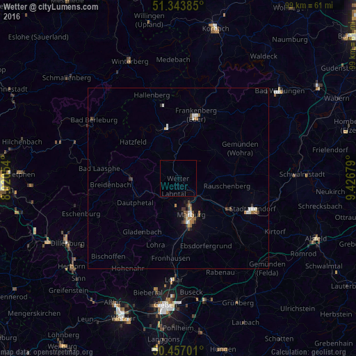
98.02%Clear (daylight) street map image can be seen on geolist.org.
Map coordinates:
51° 20' 37.9" North, 8° 1' 13.9" East
50° 54' 9.1" North, 8° 43' 25.2" East
50° 27' 25.2" North, 9° 25' 36.4" East
Some cities around Wetter sort by population:
• Marburg an der Lahn
10.9 km =6.8 mi,  162°
162°
• Frankenberg
18.2 km =11.3 mi,  17°
17°
• Kirchhain
16.6 km =10.3 mi,  120°
120°
• Biedenkopf
13.6 km =8.5 mi,  274°
274°
• Gladenbach
18 km =11.2 mi,  213°
213°
• Cölbe
7 km =4.3 mi,  144°
144°
• Allendorf
14.6 km =9.1 mi,  345°
345°
• Battenberg
13.5 km =8.4 mi,  336°
336°
2809985 (p: 9,457)
Sources (retrieved 2019-11-25):
» Earth at Night: Flat Maps 2012, 2016