Frankenberg night lights from space
Night Light of Frankenberg (Hesse) from space (Germany) Src. Average luminocity for 10x10km area is 4.1912% and for 50x50km: 0.7931%.
Analysis of Frankenberg night lights 2016
Square area 10x10 km:
 0.8%
0.8%90-99
1.34%80-89
0%70-79
0%60-69
1.07%50-59
0.53%40-49
0.13%30-39
0.4%20-29
0.53%10-19
0%0-9
95.19%Square area 50x50 km:
0.13%90-99
0.12%80-89
0.03%70-79
0.09%60-69
0.11%50-59
0.15%40-49
0.09%30-39
0.09%20-29
0.13%10-19
0.1%0-9
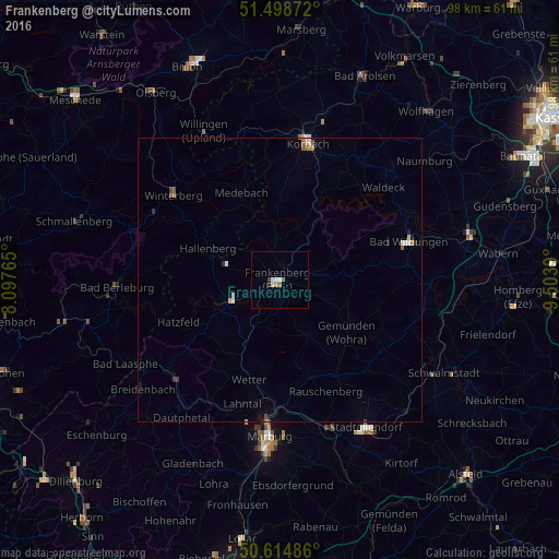
98.95%Clear (daylight) street map image can be seen on geolist.org.
Map coordinates:
51° 29' 55.4" North, 8° 5' 51.5" East
51° 3' 32" North, 8° 48' 2.8" East
50° 36' 53.5" North, 9° 30' 14" East
Some cities around Frankenberg sort by population:
• Bad Wildungen
23.6 km =14.7 mi,  73°
73°
• Winterberg
23.8 km =14.8 mi,  308°
308°
• Wetter
18.2 km =11.3 mi,  197°
197°
• Medebach
16.7 km =10.4 mi,  336°
336°
• Cölbe
23.2 km =14.4 mi,  183°
183°
• Vöhl
19.2 km =11.9 mi,  31°
31°
• Allendorf
9.5 km =5.9 mi,  250°
250°
• Battenberg
11.9 km =7.4 mi, 245°
2925629 (p: 19,276)
Sources (retrieved 2019-11-25):
» Earth at Night: Flat Maps 2012, 2016