Warstein night lights from space
Night Light of Warstein (North Rhine-Westphalia) from space (Germany) Src. Average luminocity for 10x10km area is 1.4799% and for 50x50km: 2.3602%.
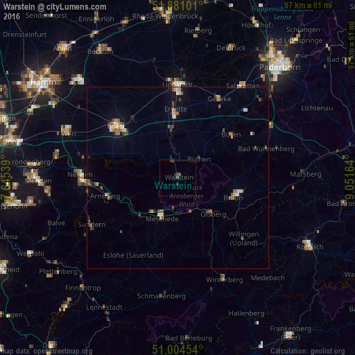
Analysis of Warstein night lights 2016
Square area 10x10 km:
 0%
0%90-99
0%80-89
0%70-79
0%60-69
0%50-59
0.13%40-49
1.6%30-39
0.94%20-29
0.53%10-19
0.53%0-9
96.26%Square area 50x50 km:
0.15%90-99
0.26%80-89
0.21%70-79
0.24%60-69
0.43%50-59
0.49%40-49
0.57%30-39
0.33%20-29
0.24%10-19
0.84%0-9
96.24%Clear (daylight) street map image can be seen on geolist.org.
Map coordinates:
51° 52' 51.6" North, 7° 38' 43.4" East
51° 26' 41.6" North, 8° 20' 54.6" East
51° 0' 16.3" North, 9° 3' 5.9" East
Some cities around Warstein sort by population:
• Meschede
11.5 km =7.1 mi,  203°
203°
• Brilon
16.4 km =10.2 mi,  109°
109°
• Erwitte
18.7 km =11.6 mi,  357°
357°
• Olsberg
13.9 km =8.6 mi,  135°
135°
• Bestwig
10 km =6.2 mi,  158°
158°
• Möhnesee
16.1 km =10 mi,  292°
292°
• Rüthen
7.9 km =4.9 mi,  49°
49°
• Anröchte
13.6 km =8.5 mi, 355°
2814005 (p: 28,532)
Sources (retrieved 2019-11-25):
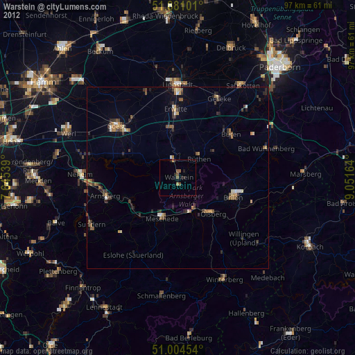
» Earth at Night: Flat Maps 2012, 2016