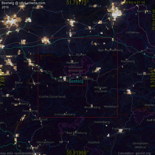
Bestwig night lights from space
Night Light of Bestwig (North Rhine-Westphalia) from space (Germany) Src. Average luminocity for 10x10km area is 1.1036% and for 50x50km: 1.5149%.
Analysis of Bestwig night lights 2016
Square area 10x10 km:
 0%
0%90-99
0%80-89
0%70-79
0%60-69
0%50-59
0.56%40-49
0.56%30-39
0.56%20-29
0%10-19
0.56%0-9
97.76%Square area 50x50 km:
0.11%90-99
0.16%80-89
0.12%70-79
0.21%60-69
0.25%50-59
0.34%40-49
0.46%30-39
0.34%20-29
0.13%10-19
0.3%0-9
97.57%Clear (daylight) street map image can be seen on geolist.org.
Map coordinates:
51° 47' 51.9" North, 7° 41' 51.7" East
51° 21' 38.9" North, 8° 24' 3" East
50° 55' 10.8" North, 9° 6' 14.2" East
Some cities around Bestwig sort by population:
• Meschede
8.2 km =5.1 mi,  261°
261°
• Warstein
10 km =6.2 mi,  338°
338°
• Brilon
12.4 km =7.7 mi,  72°
72°
• Olsberg
6.1 km =3.8 mi,  94°
94°
• Winterberg
20.9 km =13 mi,  153°
153°
• Rüthen
14.7 km =9.1 mi,  9°
9°
• Eslohe
20 km =12.4 mi,  233°
233°
• Willingen
16.3 km =10.1 mi,  117°
117°
2949773 (p: 11,764)
Sources (retrieved 2019-11-25):
» Earth at Night: Flat Maps 2012, 2016