Warendorf night lights from space
Night Light of Warendorf (North Rhine-Westphalia) from space (Germany) Src. Average luminocity for 10x10km area is 2.5177% and for 50x50km: 4.1945%.
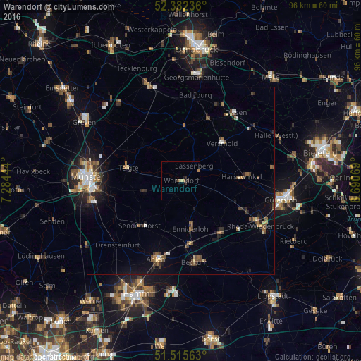
Analysis of Warendorf night lights 2016
Square area 10x10 km:
 0%
0%90-99
0%80-89
0.51%70-79
0%60-69
1.52%50-59
0%40-49
0%30-39
1.39%20-29
0.63%10-19
1.52%0-9
94.44%Square area 50x50 km:
0.39%90-99
0.54%80-89
0.35%70-79
0.34%60-69
0.64%50-59
0.74%40-49
0.93%30-39
0.6%20-29
0.84%10-19
2.31%0-9
92.32%Clear (daylight) street map image can be seen on geolist.org.
Map coordinates:
52° 22' 56.5" North, 7° 17' 4" East
51° 57' 3.9" North, 7° 59' 15.2" East
51° 30' 56.3" North, 8° 41' 26.5" East
Some cities around Warendorf sort by population:
• Versmold
15 km =9.3 mi,  48°
48°
• Ennigerloh
12.9 km =8 mi,  166°
166°
• Telgte
14.4 km =8.9 mi,  282°
282°
• Sassenberg
5.8 km =3.6 mi,  38°
38°
• Ostbevern
14 km =8.7 mi,  314°
314°
• Everswinkel
10 km =6.2 mi,  253°
253°
• Glandorf
14.9 km =9.3 mi,  3°
3°
• Beelen
8.8 km =5.5 mi,  106°
106°
2814127 (p: 38,707)
Sources (retrieved 2019-11-25):
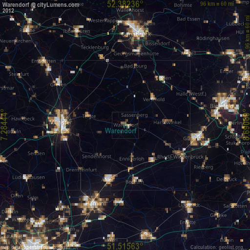
» Earth at Night: Flat Maps 2012, 2016