Ennigerloh night lights from space
Night Light of Ennigerloh (North Rhine-Westphalia) from space (Germany) Src. Average luminocity for 10x10km area is 3.9384% and for 50x50km: 6.4644%.
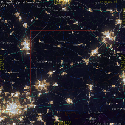
Analysis of Ennigerloh night lights 2016
Square area 10x10 km:
 0%
0%90-99
0%80-89
0.28%70-79
0.28%60-69
0.98%50-59
1.4%40-49
1.96%30-39
0.7%20-29
0.56%10-19
0%0-9
93.84%Square area 50x50 km:
0.63%90-99
0.72%80-89
0.46%70-79
0.42%60-69
1.13%50-59
1.25%40-49
1.39%30-39
1.14%20-29
1.19%10-19
5.57%0-9
86.1%Clear (daylight) street map image can be seen on geolist.org.
Map coordinates:
52° 16' 14.8" North, 7° 19' 40.1" East
51° 50' 18.3" North, 8° 1' 51.3" East
51° 24' 6.8" North, 8° 44' 2.6" East
Some cities around Ennigerloh sort by population:
• Ahlen
12.9 km =8 mi,  229°
229°
• Warendorf
12.9 km =8 mi,  346°
346°
• Beckum
9.2 km =5.7 mi,  175°
175°
• Oelde
8.1 km =5 mi,  97°
97°
• Sassenberg
17.1 km =10.6 mi,  2°
2°
• Sendenhorst
13.8 km =8.6 mi,  272°
272°
• Everswinkel
15.9 km =9.9 mi,  307°
307°
• Beelen
11.5 km =7.1 mi,  28°
28°
2930030 (p: 20,713)
Sources (retrieved 2019-11-25):
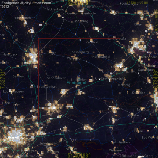
» Earth at Night: Flat Maps 2012, 2016