Waldbröl night lights from space
Night Light of Waldbröl (North Rhine-Westphalia) from space (Germany) Src. Average luminocity for 10x10km area is 2.7059% and for 50x50km: 2.0854%.
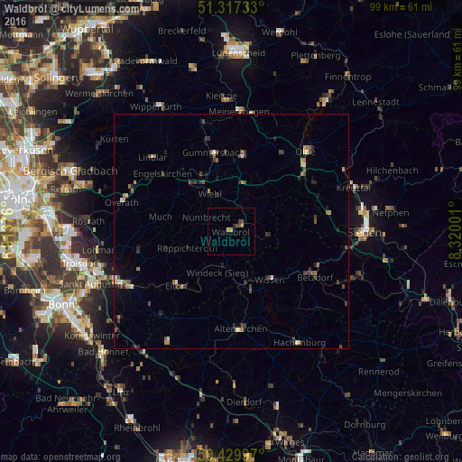
Analysis of Waldbröl night lights 2016
Square area 10x10 km:
 0%
0%90-99
0%80-89
0.14%70-79
1.12%60-69
0.42%50-59
0.28%40-49
1.82%30-39
0.14%20-29
0.56%10-19
0%0-9
95.52%Square area 50x50 km:
0.07%90-99
0.23%80-89
0.09%70-79
0.27%60-69
0.4%50-59
0.41%40-49
0.48%30-39
0.55%20-29
0.57%10-19
0.64%0-9
96.3%Clear (daylight) street map image can be seen on geolist.org.
Map coordinates:
51° 19' 2.4" North, 6° 54' 49.5" East
50° 52' 32.7" North, 7° 37' 0.8" East
50° 25' 47.9" North, 8° 19' 12" East
Some cities around Waldbröl sort by population:
• Wiehl
9.4 km =5.8 mi,  330°
330°
• Bergneustadt
16.8 km =10.4 mi,  9°
9°
• Eitorf
16.9 km =10.5 mi,  224°
224°
• Nümbrecht
6.2 km =3.9 mi,  300°
300°
• Much
15.3 km =9.5 mi,  281°
281°
• Morsbach
7.9 km =4.9 mi,  97°
97°
• Ruppichteroth
10 km =6.2 mi,  249°
249°
• Wissen
13.6 km =8.5 mi,  142°
142°
2815137 (p: 19,533)
Sources (retrieved 2019-11-25):
» Earth at Night: Flat Maps 2012, 2016