Bergneustadt night lights from space
Night Light of Bergneustadt (North Rhine-Westphalia) from space (Germany) Src. Average luminocity for 10x10km area is 2.3422% and for 50x50km: 3.459%.
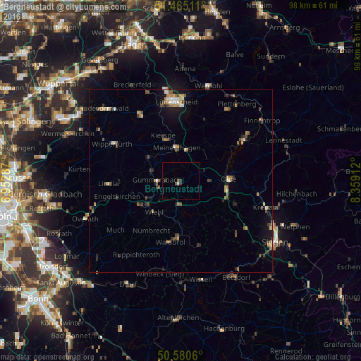
Analysis of Bergneustadt night lights 2016
Square area 10x10 km:
 0.4%
0.4%90-99
0.13%80-89
0%70-79
0%60-69
0%50-59
0.67%40-49
0.4%30-39
1.47%20-29
0.13%10-19
0.27%0-9
96.52%Square area 50x50 km:
0.26%90-99
0.37%80-89
0.27%70-79
0.55%60-69
0.53%50-59
0.59%40-49
0.69%30-39
0.61%20-29
0.55%10-19
1.8%0-9
93.77%Clear (daylight) street map image can be seen on geolist.org.
Map coordinates:
51° 27' 54.4" North, 6° 57' 10.3" East
51° 1' 29.9" North, 7° 39' 21.6" East
50° 34' 50.2" North, 8° 21' 32.8" East
Some cities around Bergneustadt sort by population:
• Gummersbach
6.4 km =4 mi,  271°
271°
• Wiehl
11.2 km =7 mi,  221°
221°
• Olpe
13.7 km =8.5 mi,  88°
88°
• Meinerzhagen
9.2 km =5.7 mi,  356°
356°
• Kierspe
13 km =8.1 mi,  339°
339°
• Nümbrecht
15.7 km =9.8 mi,  211°
211°
• Marienheide
10.9 km =6.8 mi,  306°
306°
• Drolshagen
8.2 km =5.1 mi, 91°
2950294 (p: 20,567)
Sources (retrieved 2019-11-25):
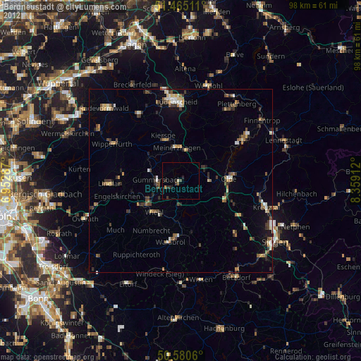
» Earth at Night: Flat Maps 2012, 2016