Waiblingen night lights from space
Night Light of Waiblingen (Baden-Württemberg) from space (Germany) Src. Average luminocity for 10x10km area is 45% and for 50x50km: 27.1095%.
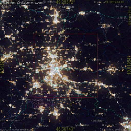
Analysis of Waiblingen night lights 2016
Square area 10x10 km:
 5.97%
5.97%90-99
7.81%80-89
2.7%70-79
4.12%60-69
8.52%50-59
9.09%40-49
7.39%30-39
11.08%20-29
22.87%10-19
20.45%0-9
0%Square area 50x50 km:
4.4%90-99
5.01%80-89
2.2%70-79
3.12%60-69
3.81%50-59
3.46%40-49
4.07%30-39
4.19%20-29
9.01%10-19
17.01%0-9
43.73%Clear (daylight) street map image can be seen on geolist.org.
Map coordinates:
49° 17' 35.2" North, 8° 36' 47.8" East
48° 49' 56.7" North, 9° 18' 59.1" East
48° 22' 2.7" North, 10° 1' 10.3" East
Some cities around Waiblingen sort by population:
• Stuttgart-Ost
9.5 km =5.9 mi,  235°
235°
• Fellbach
3.9 km =2.4 mi,  228°
228°
• Winnenden
7.7 km =4.8 mi,  51°
51°
• Weinstadt-Endersbach
4.1 km =2.5 mi,  121°
121°
• Stuttgart Mühlhausen
6.4 km =4 mi,  279°
279°
• Leutenbach
8.3 km =5.2 mi,  42°
42°
• Korb
3.6 km =2.2 mi,  70°
70°
• Schwaikheim
5.6 km =3.5 mi,  25°
25°
2815330 (p: 52,945)
Sources (retrieved 2019-11-25):
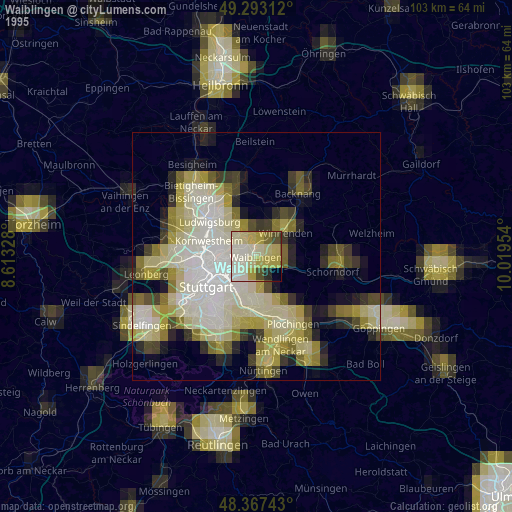
» NASA, Earths city lights 1995
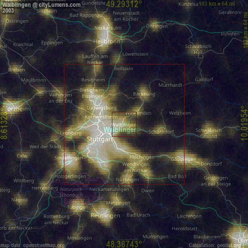
» NASA city lights 2003
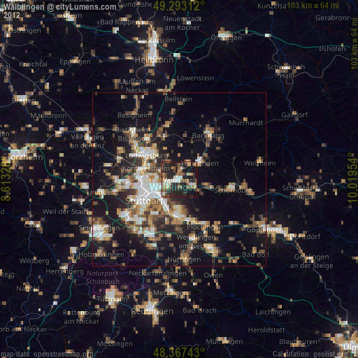
» Earth at Night: Flat Maps 2012, 2016