Stuttgart-Ost night lights from space
Night Light of Stuttgart-Ost (Baden-Württemberg) from space (Germany) Src. Average luminocity for 10x10km area is 86.8409% and for 50x50km: 28.5334%.
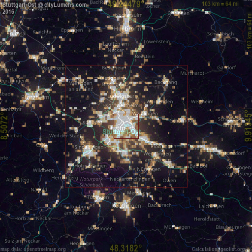
Analysis of Stuttgart-Ost night lights 2016
Square area 10x10 km:
 36.36%
90-99
28.27%80-89
5.4%70-79
6.39%60-69
10.51%50-59
8.95%40-49
3.84%30-39
0.28%20-29
0%10-19
0%0-9
0%Square area 50x50 km:
4.52%90-99
5.3%80-89
2.34%70-79
3.06%60-69
3.94%50-59
3.55%40-49
4.03%30-39
4.56%20-29
9.33%10-19
19.66%0-9
39.72%Clear (daylight) street map image can be seen on geolist.org.
Map coordinates:
49° 14' 41.2" North, 8° 30' 25.9" East
48° 47' 1.1" North, 9° 12' 37.2" East
48° 19' 5.5" North, 9° 54' 48.4" East
Some cities around Stuttgart-Ost sort by population:
• Esslingen
8.5 km =5.3 mi,  125°
125°
• Waiblingen
9.5 km =5.9 mi,  55°
55°
• Fellbach
5.6 km =3.5 mi, 59°
• Leinfelden-Echterdingen
10.4 km =6.5 mi,  197°
197°
• Ostfildern
6.9 km =4.3 mi,  155°
155°
• Kornwestheim
8.9 km =5.5 mi,  348°
348°
• Gerlingen
10.9 km =6.8 mi,  279°
279°
• Korntal
8.5 km =5.3 mi,  309°
309°
6930414 (p: 47,500)
Sources (retrieved 2019-11-25):
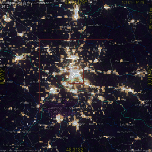
» Earth at Night: Flat Maps 2012, 2016