Vilsbiburg night lights from space
Night Light of Vilsbiburg (Bavaria) from space (Germany) Src. Average luminocity for 10x10km area is 4.892% and for 50x50km: 3.9009%.
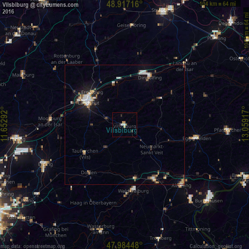
Analysis of Vilsbiburg night lights 2016
Square area 10x10 km:
 0.85%
0.85%90-99
0.85%80-89
0.57%70-79
0.85%60-69
0.85%50-59
0%40-49
0.43%30-39
1.28%20-29
0%10-19
0%0-9
94.32%Square area 50x50 km:
0.54%90-99
0.78%80-89
0.31%70-79
0.39%60-69
0.37%50-59
0.41%40-49
0.67%30-39
0.5%20-29
0.7%10-19
2.37%0-9
92.96%Clear (daylight) street map image can be seen on geolist.org.
Map coordinates:
48° 55' 1.8" North, 11° 39' 10.5" East
48° 27' 10.7" North, 12° 21' 21.7" East
47° 59' 4.1" North, 13° 3' 33" East
Some cities around Vilsbiburg sort by population:
• Landshut
16.7 km =10.4 mi,  300°
300°
• Ergolding
19.4 km =12.1 mi,  315°
315°
• Taufkirchen
20.1 km =12.5 mi,  235°
235°
• Gangkofen
15.5 km =9.6 mi,  96°
96°
• Velden
12.1 km =7.5 mi,  217°
217°
• Geisenhausen
7.7 km =4.8 mi,  289°
289°
• Neumarkt-Sankt Veit
15.2 km =9.4 mi,  132°
132°
• Bodenkirchen
8 km =5 mi,  165°
165°
2817209 (p: 11,416)
Sources (retrieved 2019-11-25):
» Earth at Night: Flat Maps 2012, 2016