Trier night lights from space
Night Light of Trier (Rheinland-Pfalz) from space (Germany) Src. Average luminocity for 10x10km area is 40.4064% and for 50x50km: 4.5224%.
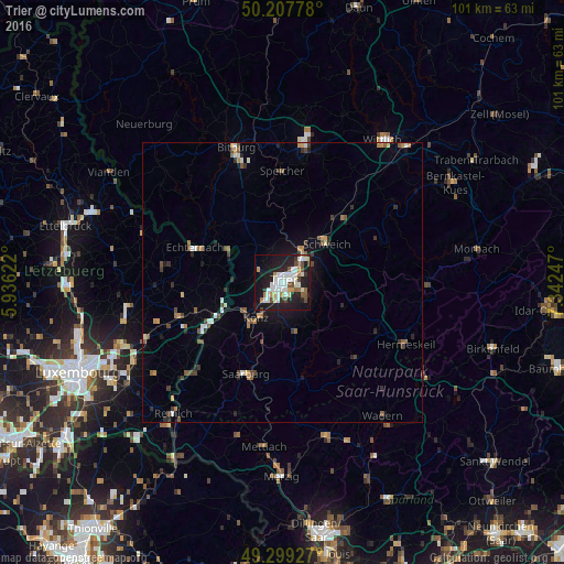
Analysis of Trier night lights 2016
Square area 10x10 km:
 8.42%
8.42%90-99
12.3%80-89
1.74%70-79
3.48%60-69
3.21%50-59
4.28%40-49
4.41%30-39
2.41%20-29
14.3%10-19
33.69%0-9
11.76%Square area 50x50 km:
0.52%90-99
0.78%80-89
0.21%70-79
0.49%60-69
0.57%50-59
0.64%40-49
0.76%30-39
0.59%20-29
1.18%10-19
2.74%0-9
91.51%Clear (daylight) street map image can be seen on geolist.org.
Map coordinates:
50° 12' 28" North, 5° 56' 10.4" East
49° 45' 20.3" North, 6° 38' 21.7" East
49° 17' 57.4" North, 7° 20' 32.9" East
Some cities around Trier sort by population:
• Konz
7.6 km =4.7 mi,  216°
216°
• Losheim
28.4 km =17.6 mi,  164°
164°
• Bitburg
24.9 km =15.5 mi,  341°
341°
• Schweich
11 km =6.8 mi,  47°
47°
• Weiskirchen
26.2 km =16.3 mi,  150°
150°
• Saarburg
18 km =11.2 mi,  202°
202°
• Hermeskeil
24.6 km =15.3 mi,  116°
116°
• Grevenmacher, LU
16.7 km =10.4 mi,  238°
238°
2821164 (p: 100,129)
Sources (retrieved 2019-11-25):
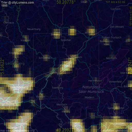
» NASA, Earths city lights 1995
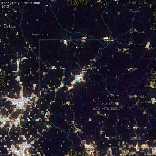
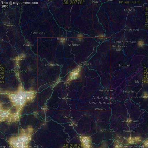
» NASA city lights 2003
» Earth at Night: Flat Maps 2012, 2016