Hermeskeil night lights from space
Night Light of Hermeskeil (Rheinland-Pfalz) from space (Germany) Src. Average luminocity for 10x10km area is 1.607% and for 50x50km: 3.314%.
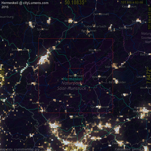
Analysis of Hermeskeil night lights 2016
Square area 10x10 km:
 0%
0%90-99
0%80-89
0%70-79
0%60-69
0.67%50-59
0.4%40-49
0.53%30-39
0.8%20-29
0.8%10-19
0%0-9
96.79%Square area 50x50 km:
0.43%90-99
0.6%80-89
0.16%70-79
0.27%60-69
0.4%50-59
0.58%40-49
0.52%30-39
0.49%20-29
1.06%10-19
2.37%0-9
93.13%Clear (daylight) street map image can be seen on geolist.org.
Map coordinates:
50° 6' 30.1" North, 6° 14' 27.4" East
49° 39' 19" North, 6° 56' 38.7" East
49° 11' 52.7" North, 7° 38' 49.9" East
Some cities around Hermeskeil sort by population:
• Wadern
13.3 km =8.3 mi,  197°
197°
• Tholey
20.2 km =12.6 mi,  160°
160°
• Nohfelden
16.2 km =10.1 mi,  117°
117°
• Nonnweiler
5.6 km =3.5 mi, 160°
• Namborn
20.5 km =12.7 mi,  136°
136°
• Birkenfeld
16 km =9.9 mi,  91°
91°
• Oberthal
18.8 km =11.7 mi,  147°
147°
• Weiskirchen
14.9 km =9.3 mi,  218°
218°
2905929 (p: 5,710)
Sources (retrieved 2019-11-25):
» Earth at Night: Flat Maps 2012, 2016