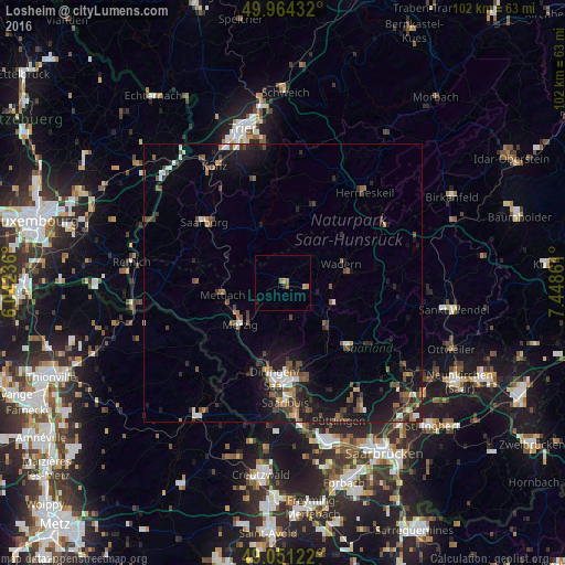
Losheim night lights from space
Night Light of Losheim (Saarland) from space (Germany) Src. Average luminocity for 10x10km area is 2.9328% and for 50x50km: 5.7332%.
Analysis of Losheim night lights 2016
Square area 10x10 km:
 0%
0%90-99
0%80-89
0.28%70-79
1.12%60-69
1.4%50-59
0.56%40-49
0%30-39
0%20-29
0.84%10-19
0.28%0-9
95.52%Square area 50x50 km:
0.52%90-99
0.66%80-89
0.27%70-79
0.41%60-69
0.91%50-59
1.05%40-49
1.42%30-39
0.95%20-29
1.67%10-19
5.16%0-9
86.97%Clear (daylight) street map image can be seen on geolist.org.
Map coordinates:
49° 57' 51.6" North, 6° 2' 32.5" East
49° 30' 35.6" North, 6° 44' 43.8" East
49° 3' 4.4" North, 7° 26' 55" East
Some cities around Losheim sort by population:
• Merzig
10.7 km =6.6 mi,  226°
226°
• Lebach
16.2 km =10.1 mi,  132°
132°
• Dillingen
17.2 km =10.7 mi,  184°
184°
• Schmelz
11.4 km =7.1 mi,  138°
138°
• Wadern
10.8 km =6.7 mi,  71°
71°
• Beckingen
12.7 km =7.9 mi,  195°
195°
• Nalbach
14.3 km =8.9 mi,  169°
169°
• Weiskirchen
6.8 km =4.2 mi,  49°
49°
2875831 (p: 16,660)
Sources (retrieved 2019-11-25):
» Earth at Night: Flat Maps 2012, 2016