Thale night lights from space
Night Light of Thale (Saxony-Anhalt) from space (Germany) Src. Average luminocity for 10x10km area is 3.4188% and for 50x50km: 2.3049%.
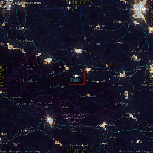
Analysis of Thale night lights 2016
Square area 10x10 km:
 0.42%
0.42%90-99
0.7%80-89
0.56%70-79
0%60-69
0%50-59
0.56%40-49
0.7%30-39
0.84%20-29
0.14%10-19
0.28%0-9
95.8%Square area 50x50 km:
0.32%90-99
0.42%80-89
0.2%70-79
0.26%60-69
0.2%50-59
0.27%40-49
0.24%30-39
0.39%20-29
0.06%10-19
0.92%0-9
96.7%Clear (daylight) street map image can be seen on geolist.org.
Map coordinates:
52° 10' 54.6" North, 10° 20' 16.4" East
51° 44' 55" North, 11° 2' 27.6" East
51° 18' 40.3" North, 11° 44' 38.9" East
Some cities around Thale sort by population:
• Halberstadt
16.4 km =10.2 mi,  3°
3°
• Wernigerode
20.3 km =12.6 mi,  298°
298°
• Aschersleben
28.9 km =18 mi,  88°
88°
• Quedlinburg
8.7 km =5.4 mi,  59°
59°
• Blankenburg
7.5 km =4.7 mi,  308°
308°
• Huy-Neinstedt
25.7 km =16 mi,  340°
340°
• Ballenstedt
13.6 km =8.5 mi,  104°
104°
• Ilsenburg
28.2 km =17.5 mi, 297°
2823141 (p: 13,386)
Sources (retrieved 2019-11-25):
» Earth at Night: Flat Maps 2012, 2016