Aschersleben night lights from space
Night Light of Aschersleben (Saxony-Anhalt) from space (Germany) Src. Average luminocity for 10x10km area is 9.9804% and for 50x50km: 2.8326%.
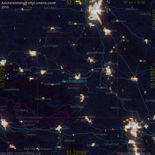
Analysis of Aschersleben night lights 2016
Square area 10x10 km:
 2.24%
2.24%90-99
1.68%80-89
1.68%70-79
0.56%60-69
0.56%50-59
1.12%40-49
1.12%30-39
0%20-29
0.56%10-19
1.54%0-9
88.94%Square area 50x50 km:
0.39%90-99
0.39%80-89
0.24%70-79
0.36%60-69
0.28%50-59
0.45%40-49
0.43%30-39
0.32%20-29
0.3%10-19
1.17%0-9
95.67%Clear (daylight) street map image can be seen on geolist.org.
Map coordinates:
52° 11' 26" North, 10° 45' 27.8" East
51° 45' 26.7" North, 11° 27' 39" East
51° 19' 12.3" North, 12° 9' 50.3" East
Some cities around Aschersleben sort by population:
• Bernburg
19.7 km =12.2 mi,  77°
77°
• Eisleben Lutherstadt
26.3 km =16.3 mi,  166°
166°
• Staßfurt
13.5 km =8.4 mi,  39°
39°
• Quedlinburg
21.7 km =13.5 mi,  279°
279°
• Hettstedt
12.4 km =7.7 mi,  163°
163°
• Calbe
27.2 km =16.9 mi,  52°
52°
• Ballenstedt
16.3 km =10.1 mi,  254°
254°
• Könnern
23.4 km =14.5 mi,  114°
114°
2955168 (p: 24,892)
Sources (retrieved 2019-11-25):
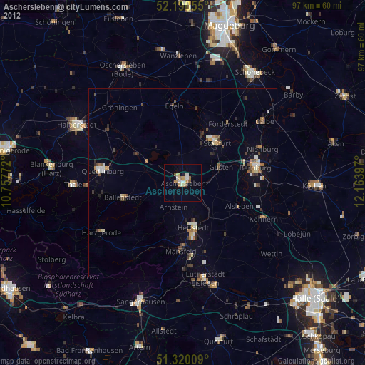
» Earth at Night: Flat Maps 2012, 2016