Halberstadt night lights from space
Night Light of Halberstadt (Saxony-Anhalt) from space (Germany) Src. Average luminocity for 10x10km area is 12.7601% and for 50x50km: 2.2637%.
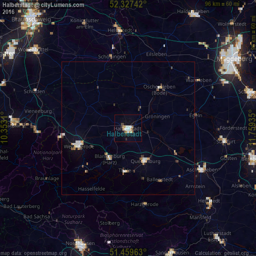
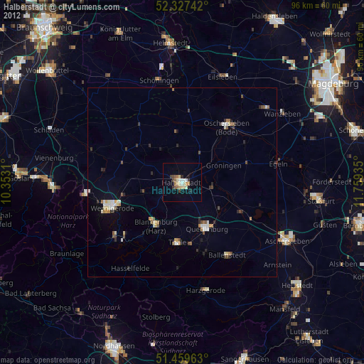
Analysis of Halberstadt night lights 2016
Square area 10x10 km:
 2.53%
2.53%90-99
2.02%80-89
1.52%70-79
1.77%60-69
0.76%50-59
0.88%40-49
0.63%30-39
2.53%20-29
0%10-19
5.56%0-9
81.82%Square area 50x50 km:
0.32%90-99
0.39%80-89
0.22%70-79
0.26%60-69
0.19%50-59
0.28%40-49
0.31%30-39
0.43%20-29
0.11%10-19
0.67%0-9
96.84%Clear (daylight) street map image can be seen on geolist.org.
Map coordinates:
52° 19' 38.7" North, 10° 21' 11.2" East
51° 53' 44.2" North, 11° 3' 22.4" East
51° 27' 34.7" North, 11° 45' 33.7" East
Some cities around Halberstadt sort by population:
• Wernigerode
19.9 km =12.4 mi,  250°
250°
• Quedlinburg
13.6 km =8.5 mi,  151°
151°
• Oschersleben
19.1 km =11.9 mi,  38°
38°
• Blankenburg
13.6 km =8.5 mi,  210°
210°
• Thale
16.4 km =10.2 mi,  183°
183°
• Huy-Neinstedt
12.5 km =7.8 mi,  308°
308°
• Ballenstedt
23.1 km =14.4 mi, 148°
• Ilsenburg
26.1 km =16.2 mi,  262°
262°
2911665 (p: 39,729)
Sources (retrieved 2019-11-25):
» Earth at Night: Flat Maps 2012, 2016