Ballenstedt night lights from space
Night Light of Ballenstedt (Saxony-Anhalt) from space (Germany) Src. Average luminocity for 10x10km area is 1.0448% and for 50x50km: 2.7238%.
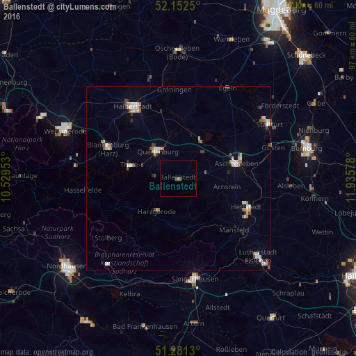
Analysis of Ballenstedt night lights 2016
Square area 10x10 km:
 0%
0%90-99
0%80-89
0%70-79
0%60-69
0.56%50-59
0.56%40-49
0%30-39
0.56%20-29
0%10-19
0%0-9
98.32%Square area 50x50 km:
0.4%90-99
0.52%80-89
0.32%70-79
0.24%60-69
0.27%50-59
0.37%40-49
0.35%30-39
0.33%20-29
0.12%10-19
0.49%0-9
96.58%Clear (daylight) street map image can be seen on geolist.org.
Map coordinates:
52° 9' 9" North, 10° 31' 46.3" East
51° 43' 8.4" North, 11° 13' 57.5" East
51° 16' 52.7" North, 11° 56' 8.8" East
Some cities around Ballenstedt sort by population:
• Halberstadt
23.1 km =14.4 mi,  328°
328°
• Aschersleben
16.3 km =10.1 mi,  74°
74°
• Sangerhausen
27.8 km =17.3 mi,  171°
171°
• Staßfurt
28.4 km =17.6 mi,  58°
58°
• Quedlinburg
9.6 km =6 mi,  323°
323°
• Blankenburg
20.7 km =12.9 mi,  292°
292°
• Hettstedt
20.7 km =12.9 mi,  111°
111°
• Thale
13.6 km =8.5 mi,  284°
284°
2953060 (p: 8,064)
Sources (retrieved 2019-11-25):
» Earth at Night: Flat Maps 2012, 2016