Stadtlohn night lights from space
Night Light of Stadtlohn (North Rhine-Westphalia) from space (Germany) Src. Average luminocity for 10x10km area is 4.4684% and for 50x50km: 6.1581%.
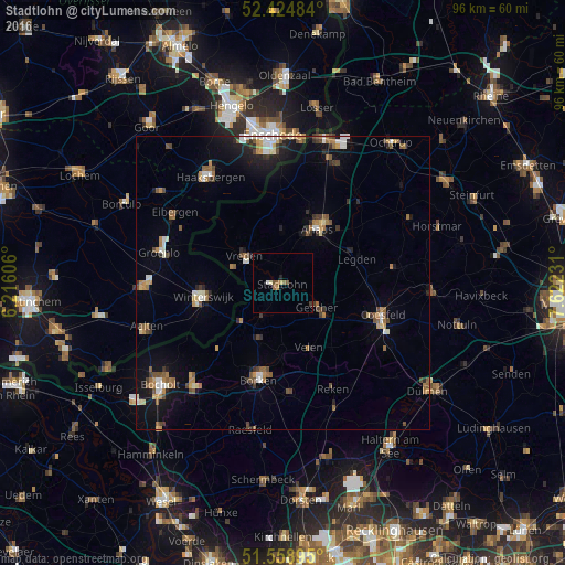
Analysis of Stadtlohn night lights 2016
Square area 10x10 km:
 0%
0%90-99
0.76%80-89
0.25%70-79
1.01%60-69
0.63%50-59
1.01%40-49
0.88%30-39
0.51%20-29
0%10-19
1.01%0-9
93.94%Square area 50x50 km:
0.57%90-99
0.93%80-89
0.43%70-79
0.7%60-69
1.02%50-59
1.13%40-49
0.91%30-39
0.67%20-29
0.96%10-19
3.43%0-9
89.26%Clear (daylight) street map image can be seen on geolist.org.
Map coordinates:
52° 25' 29.4" North, 6° 12' 57.8" East
51° 59' 38.4" North, 6° 55' 9" East
51° 33' 32.2" North, 7° 37' 20.3" East
Some cities around Stadtlohn sort by population:
• Borken
17.2 km =10.7 mi,  194°
194°
• Ahaus
11.5 km =7.1 mi,  34°
34°
• Winterswijk, NL
13.9 km =8.6 mi,  260°
260°
• Vreden
7.9 km =4.9 mi,  308°
308°
• Gescher
7.4 km =4.6 mi,  127°
127°
• Velen
12 km =7.5 mi,  156°
156°
• Südlohn
7.6 km =4.7 mi,  208°
208°
• Legden
13.1 km =8.1 mi,  70°
70°
2829758 (p: 20,602)
Sources (retrieved 2019-11-25):
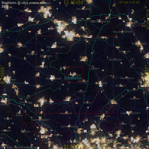
» Earth at Night: Flat Maps 2012, 2016