Vreden night lights from space
Night Light of Vreden (North Rhine-Westphalia) from space (Germany) Src. Average luminocity for 10x10km area is 4.6326% and for 50x50km: 8.0612%.
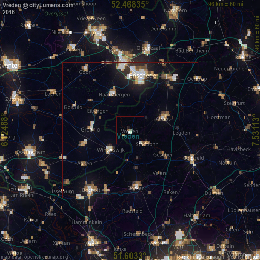
Analysis of Vreden night lights 2016
Square area 10x10 km:
 0.25%
0.25%90-99
1.52%80-89
0.25%70-79
0%60-69
1.01%50-59
0.63%40-49
1.39%30-39
0%20-29
1.01%10-19
0.51%0-9
93.43%Square area 50x50 km:
1%90-99
1.4%80-89
0.61%70-79
0.89%60-69
1.12%50-59
1.23%40-49
1.16%30-39
1.03%20-29
1.6%10-19
4%0-9
85.95%Clear (daylight) street map image can be seen on geolist.org.
Map coordinates:
52° 28' 6.1" North, 6° 7' 29.6" East
52° 2' 16.5" North, 6° 49' 40.8" East
51° 36' 11.9" North, 7° 31' 52.1" East
Some cities around Vreden sort by population:
• Ahaus
13.5 km =8.4 mi,  70°
70°
• Winterswijk, NL
10.4 km =6.5 mi,  225°
225°
• Haaksbergen, NL
14.5 km =9 mi,  335°
335°
• Stadtlohn
7.9 km =4.9 mi,  128°
128°
• Gescher
15.3 km =9.5 mi, 127°
• Eibergen, NL
14.1 km =8.8 mi,  299°
299°
• Südlohn
11.9 km =7.4 mi,  167°
167°
• Neede, NL
18.1 km =11.2 mi,  306°
306°
2815824 (p: 22,412)
Sources (retrieved 2019-11-25):
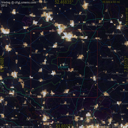
» Earth at Night: Flat Maps 2012, 2016