Stadtilm night lights from space
Night Light of Stadtilm (Thuringia) from space (Germany) Src. Average luminocity for 10x10km area is 0.5686% and for 50x50km: 5.4819%.
Analysis of Stadtilm night lights 2016
Square area 10x10 km:
 0%
0%90-99
0%80-89
0.56%70-79
0%60-69
0%50-59
0%40-49
0%30-39
0%20-29
0%10-19
0.56%0-9
98.88%Square area 50x50 km:
1.23%90-99
1.25%80-89
0.37%70-79
0.4%60-69
0.41%50-59
0.38%40-49
0.45%30-39
0.46%20-29
0.91%10-19
3.85%0-9
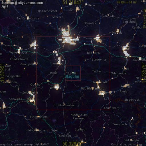
90.29%Clear (daylight) street map image can be seen on geolist.org.
Map coordinates:
51° 13' 6.5" North, 10° 22' 46.2" East
50° 46' 33.5" North, 11° 4' 57.4" East
50° 19' 45.2" North, 11° 47' 8.7" East
Some cities around Stadtilm sort by population:
• Ilmenau
15.5 km =9.6 mi,  228°
228°
• Arnstadt
11.6 km =7.2 mi,  308°
308°
• Rudolstadt
19.2 km =11.9 mi,  108°
108°
• Bad Berka
19.7 km =12.2 mi,  45°
45°
• Bad Blankenburg
17 km =10.6 mi,  127°
127°
• Blankenhain
20.6 km =12.8 mi,  63°
63°
• Neuhaus
14.7 km =9.1 mi, 225°
• Königsee
12.8 km =8 mi,  175°
175°
2829765 (p: 5,265)
Sources (retrieved 2019-11-25):
» Earth at Night: Flat Maps 2012, 2016