Arnstadt night lights from space
Night Light of Arnstadt (Thuringia) from space (Germany) Src. Average luminocity for 10x10km area is 14.6289% and for 50x50km: 6.6708%.
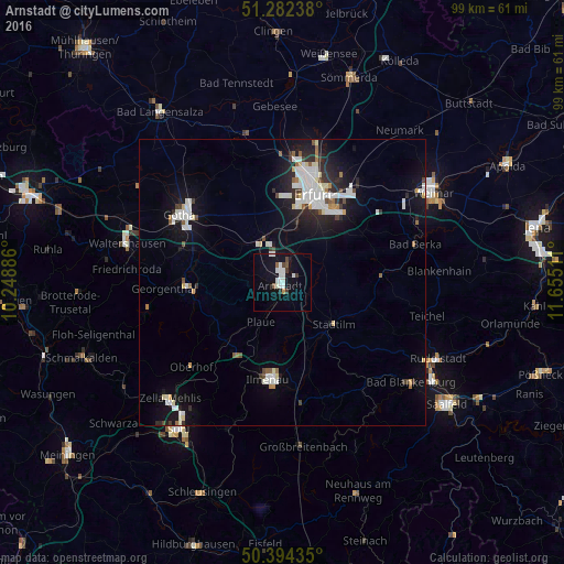
Analysis of Arnstadt night lights 2016
Square area 10x10 km:
 3.36%
3.36%90-99
4.48%80-89
0%70-79
0.56%60-69
0%50-59
1.68%40-49
1.12%30-39
1.68%20-29
0.56%10-19
14.15%0-9
72.41%Square area 50x50 km:
1.53%90-99
1.66%80-89
0.46%70-79
0.29%60-69
0.38%50-59
0.5%40-49
0.42%30-39
0.58%20-29
1.66%10-19
5.23%0-9
87.31%Clear (daylight) street map image can be seen on geolist.org.
Map coordinates:
51° 16' 56.6" North, 10° 14' 55.9" East
50° 50' 25.7" North, 10° 57' 7.1" East
50° 23' 39.7" North, 11° 39' 18.4" East
Some cities around Arnstadt sort by population:
• Erfurt
16.4 km =10.2 mi,  20°
20°
• Gotha
21.2 km =13.2 mi,  304°
304°
• Ilmenau
17.6 km =10.9 mi,  187°
187°
• Bad Berka
24.1 km =15 mi,  74°
74°
• Neuhaus
17.5 km =10.9 mi,  184°
184°
• Königsee
22.4 km =13.9 mi,  152°
152°
• Friedrichroda
27.2 km =16.9 mi,  273°
273°
• Stadtilm
11.6 km =7.2 mi,  128°
128°
2955439 (p: 25,678)
Sources (retrieved 2019-11-25):
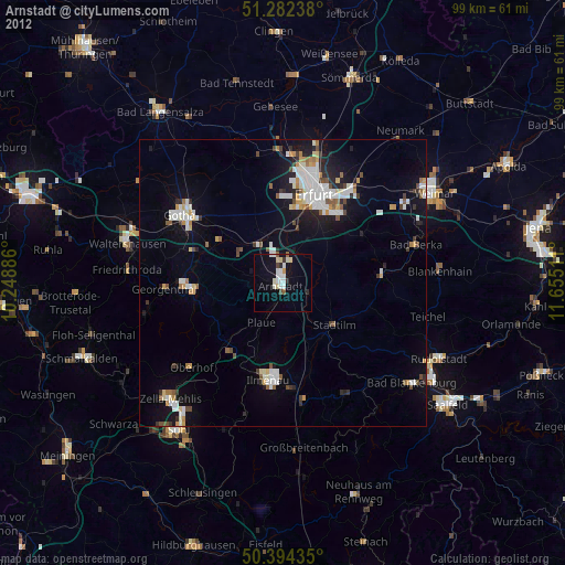
» Earth at Night: Flat Maps 2012, 2016