Rudolstadt night lights from space
Night Light of Rudolstadt (Thuringia) from space (Germany) Src. Average luminocity for 10x10km area is 11.6511% and for 50x50km: 2.725%.
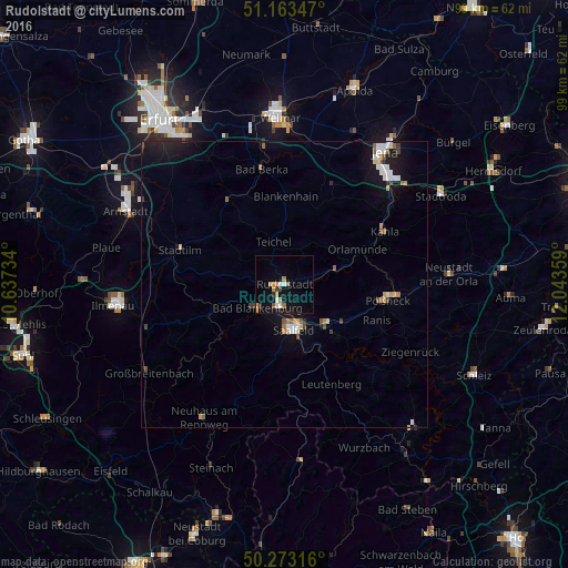
Analysis of Rudolstadt night lights 2016
Square area 10x10 km:
 1.47%
1.47%90-99
1.2%80-89
0.94%70-79
2.94%60-69
2.01%50-59
0.4%40-49
0.53%30-39
1.2%20-29
0.53%10-19
11.1%0-9
77.67%Square area 50x50 km:
0.4%90-99
0.43%80-89
0.19%70-79
0.36%60-69
0.29%50-59
0.31%40-49
0.24%30-39
0.2%20-29
0.34%10-19
2.64%0-9
94.61%Clear (daylight) street map image can be seen on geolist.org.
Map coordinates:
51° 9' 48.5" North, 10° 38' 14.4" East
50° 43' 13.5" North, 11° 20' 25.7" East
50° 16' 23.4" North, 12° 2' 36.9" East
Some cities around Rudolstadt sort by population:
• Saalfeld
8.2 km =5.1 mi,  167°
167°
• Pößneck
18 km =11.2 mi,  99°
99°
• Bad Berka
20.4 km =12.7 mi,  348°
348°
• Bad Blankenburg
6.4 km =4 mi,  227°
227°
• Kahla
19.7 km =12.2 mi,  60°
60°
• Blankenhain
15.5 km =9.6 mi,  0°
0°
• Königsee
18.3 km =11.4 mi,  249°
249°
• Stadtilm
19.2 km =11.9 mi,  288°
288°
2843355 (p: 25,476)
Sources (retrieved 2019-11-25):
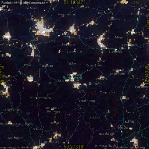
» Earth at Night: Flat Maps 2012, 2016