Sinnersdorf night lights from space
Night Light of Sinnersdorf (North Rhine-Westphalia) from space (Germany) Src. Average luminocity for 10x10km area is 36.2072% and for 50x50km: 40.8365%.
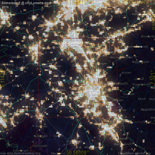
Analysis of Sinnersdorf night lights 2016
Square area 10x10 km:
 3.07%
3.07%90-99
3.21%80-89
3.88%70-79
6.02%60-69
6.42%50-59
4.28%40-49
5.88%30-39
11.63%20-29
21.79%10-19
24.6%0-9
9.22%Square area 50x50 km:
7.88%90-99
8.45%80-89
3.51%70-79
4.34%60-69
5.5%50-59
5.7%40-49
6.05%30-39
7.9%20-29
11.36%10-19
20.14%0-9
19.18%Clear (daylight) street map image can be seen on geolist.org.
Map coordinates:
51° 27' 52.6" North, 6° 6' 53.1" East
51° 1' 28" North, 6° 49' 4.3" East
50° 34' 48.3" North, 7° 31' 15.6" East
Some cities around Sinnersdorf sort by population:
• Dormagen
8.1 km =5 mi,  6°
6°
• Pulheim
2.9 km =1.8 mi,  196°
196°
• Monheim am Rhein
9.1 km =5.7 mi,  34°
34°
• Neuehrenfeld
11.1 km =6.9 mi,  131°
131°
• Bilderstoeckchen
9.9 km =6.2 mi, 127°
• Rommerskirchen
9.5 km =5.9 mi,  275°
275°
• Ossendorf
8.6 km =5.3 mi, 134°
• Mengenich
6.2 km =3.9 mi,  145°
145°
2831888 (p: 5,727)
Sources (retrieved 2019-11-25):
» Earth at Night: Flat Maps 2012, 2016