Pulheim night lights from space
Night Light of Pulheim (North Rhine-Westphalia) from space (Germany) Src. Average luminocity for 10x10km area is 37.8195% and for 50x50km: 39.4221%.
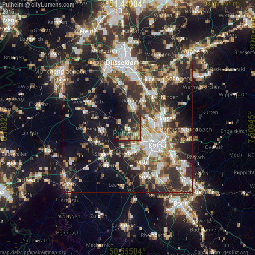
Analysis of Pulheim night lights 2016
Square area 10x10 km:
 1.47%
1.47%90-99
3.07%80-89
6.15%70-79
7.62%60-69
6.28%50-59
6.42%40-49
6.95%30-39
10.16%20-29
19.25%10-19
23.8%0-9
8.82%Square area 50x50 km:
7.27%90-99
7.8%80-89
3.52%70-79
4.2%60-69
5.58%50-59
5.8%40-49
6.08%30-39
7.89%20-29
10.53%10-19
19.85%0-9
21.47%Clear (daylight) street map image can be seen on geolist.org.
Map coordinates:
51° 26' 24.1" North, 6° 6' 11.5" East
50° 59' 58.7" North, 6° 48' 22.8" East
50° 33' 18.1" North, 7° 30' 34" East
Some cities around Pulheim sort by population:
• Dormagen
10.9 km =6.8 mi,  9°
9°
• Frechen
9.4 km =5.8 mi,  177°
177°
• Neuehrenfeld
10.2 km =6.3 mi,  117°
117°
• Bilderstoeckchen
9.3 km =5.8 mi,  110°
110°
• Rommerskirchen
9.4 km =5.8 mi,  293°
293°
• Ossendorf
7.7 km =4.8 mi, 114°
• Mengenich
4.9 km =3 mi, 118°
• Sinnersdorf
2.9 km =1.8 mi,  16°
16°
2851746 (p: 53,762)
Sources (retrieved 2019-11-25):
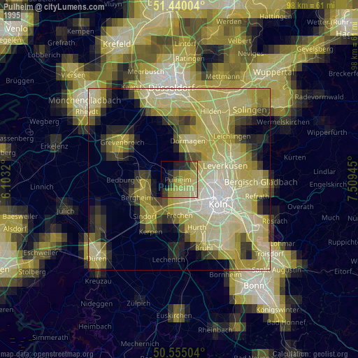
» NASA, Earths city lights 1995
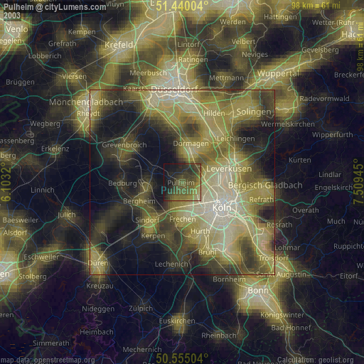
» NASA city lights 2003
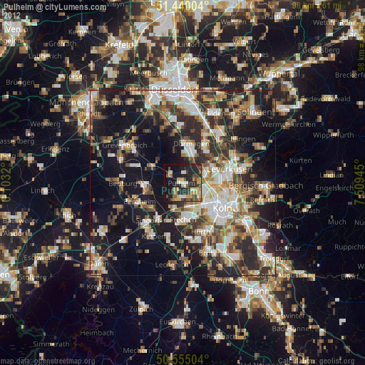
» Earth at Night: Flat Maps 2012, 2016