Mudersbach night lights from space
Night Light of Mudersbach (Rheinland-Pfalz) from space (Germany) Src. Average luminocity for 10x10km area is 4.7087% and for 50x50km: 2.6793%.
Analysis of Mudersbach night lights 2016
Square area 10x10 km:
 0.14%
0.14%90-99
0%80-89
0%70-79
0.56%60-69
0.28%50-59
1.54%40-49
1.68%30-39
2.24%20-29
1.26%10-19
2.1%0-9
90.2%Square area 50x50 km:
0.14%90-99
0.27%80-89
0.26%70-79
0.35%60-69
0.35%50-59
0.46%40-49
0.72%30-39
0.65%20-29
0.55%10-19
1.33%0-9
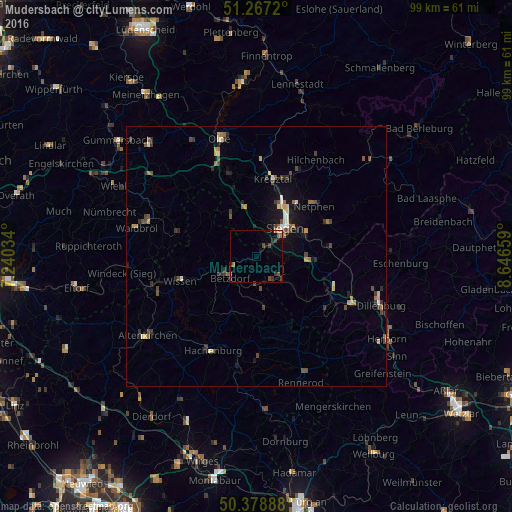
94.91%Clear (daylight) street map image can be seen on geolist.org.
Map coordinates:
51° 16' 1.9" North, 7° 14' 25.2" East
50° 49' 30.5" North, 7° 56' 36.5" East
50° 22' 44" North, 8° 38' 47.7" East
Some cities around Mudersbach sort by population:
• Siegen
7.9 km =4.9 mi,  45°
45°
• Wilnsdorf
11 km =6.8 mi,  94°
94°
• Freudenberg
9.4 km =5.8 mi,  328°
328°
• Neunkirchen
4.9 km =3 mi,  125°
125°
• Betzdorf
6.3 km =3.9 mi,  232°
232°
• Kirchen
4.4 km =2.7 mi,  245°
245°
• Herdorf
5.4 km =3.4 mi,  172°
172°
• Niederfischbach
6.1 km =3.8 mi,  297°
297°
2868853 (p: 6,358)
Sources (retrieved 2019-11-25):
» Earth at Night: Flat Maps 2012, 2016