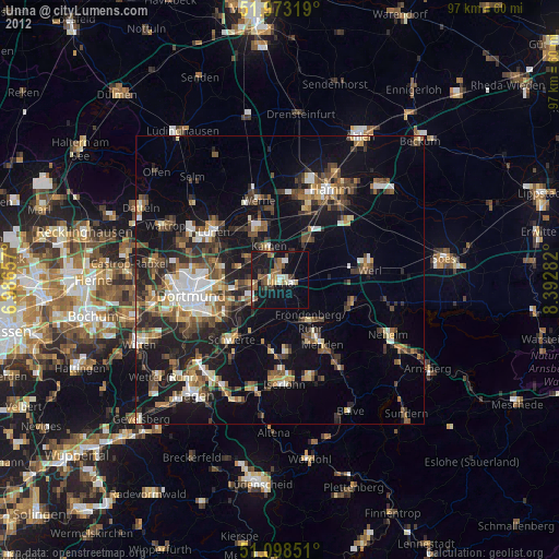
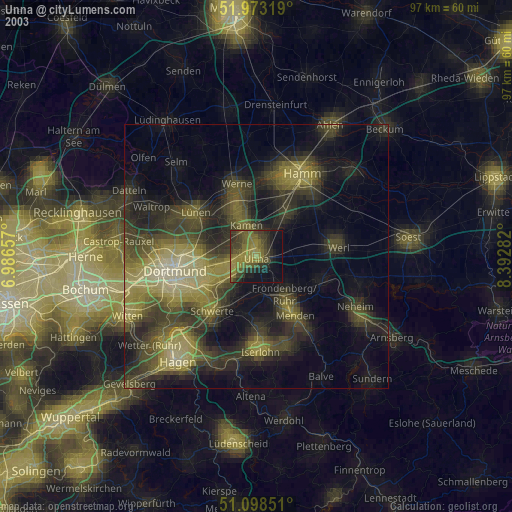
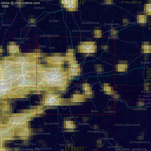
Unna night lights from space
Night Light of Unna (North Rhine-Westphalia) from space (Germany) Src. Average luminocity for 10x10km area is 30.0615% and for 50x50km: 21.3%.
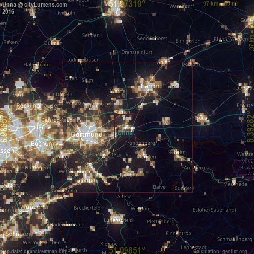
Analysis of Unna night lights 2016
Square area 10x10 km:
 4.68%
4.68%90-99
3.34%80-89
2.41%70-79
2.01%60-69
3.48%50-59
5.48%40-49
5.21%30-39
4.95%20-29
14.84%10-19
29.68%0-9
23.93%Square area 50x50 km:
2.6%90-99
2.95%80-89
1.78%70-79
2.16%60-69
3.21%50-59
4.01%40-49
3.86%30-39
4.3%20-29
6.88%10-19
15.88%0-9
52.38%Clear (daylight) street map image can be seen on geolist.org.
Map coordinates:
51° 58' 23.5" North, 6° 59' 11.7" East
51° 32' 16.6" North, 7° 41' 22.9" East
51° 5' 54.6" North, 8° 23' 34.2" East
Some cities around Unna sort by population:
• Menden
12.2 km =7.6 mi,  149°
149°
• Bergkamen
9.3 km =5.8 mi,  340°
340°
• Schwerte
13.5 km =8.4 mi,  218°
218°
• Kamen
6.3 km =3.9 mi, 343°
• Fröndenberg
8.9 km =5.5 mi,  141°
141°
• Bönen
8.7 km =5.4 mi,  37°
37°
• Holzwickede
5.7 km =3.5 mi, 222°
• Wickede
13 km =8.1 mi,  110°
110°
2820087 (p: 66,734)
Sources (retrieved 2019-11-25):
» NASA, Earths city lights 1995
» NASA city lights 2003
» Earth at Night: Flat Maps 2012, 2016