Iserlohn night lights from space
Night Light of Iserlohn (North Rhine-Westphalia) from space (Germany) Src. Average luminocity for 10x10km area is 20.8627% and for 50x50km: 16.9663%.
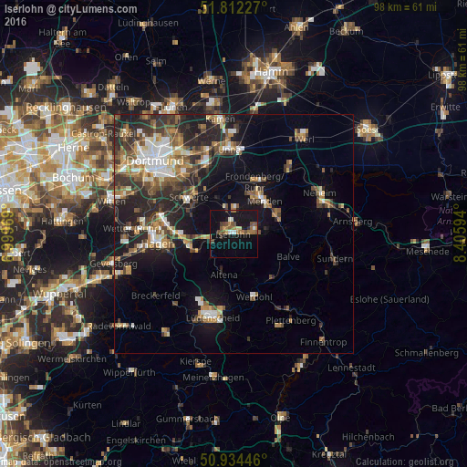
Analysis of Iserlohn night lights 2016
Square area 10x10 km:
 1.12%
1.12%90-99
2.24%80-89
1.96%70-79
0.84%60-69
5.74%50-59
4.34%40-49
4.76%30-39
1.68%20-29
0.7%10-19
29.41%0-9
47.2%Square area 50x50 km:
2.12%90-99
2.46%80-89
1.48%70-79
1.93%60-69
2.53%50-59
3.05%40-49
2.93%30-39
3.1%20-29
5.64%10-19
10.8%0-9
63.97%Clear (daylight) street map image can be seen on geolist.org.
Map coordinates:
51° 48' 44.2" North, 6° 59' 58.9" East
51° 22' 31.7" North, 7° 42' 10.1" East
50° 56' 4.1" North, 8° 24' 21.4" East
Some cities around Iserlohn sort by population:
• Menden
9.2 km =5.7 mi,  34°
34°
• Schwerte
12.1 km =7.5 mi,  309°
309°
• Hemer
4.9 km =3 mi,  74°
74°
• Fröndenberg
12.1 km =7.5 mi,  22°
22°
• Altena
9.2 km =5.7 mi,  192°
192°
• Neuenrade
11.7 km =7.3 mi,  151°
151°
• Balve
12.2 km =7.6 mi,  113°
113°
• Nachrodt-Wiblingwerde
8.9 km =5.5 mi,  222°
222°
2895669 (p: 97,910)
Sources (retrieved 2019-11-25):
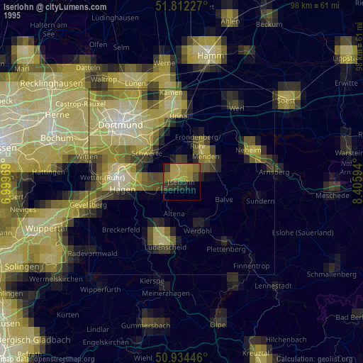
» NASA, Earths city lights 1995
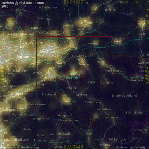
» NASA city lights 2003
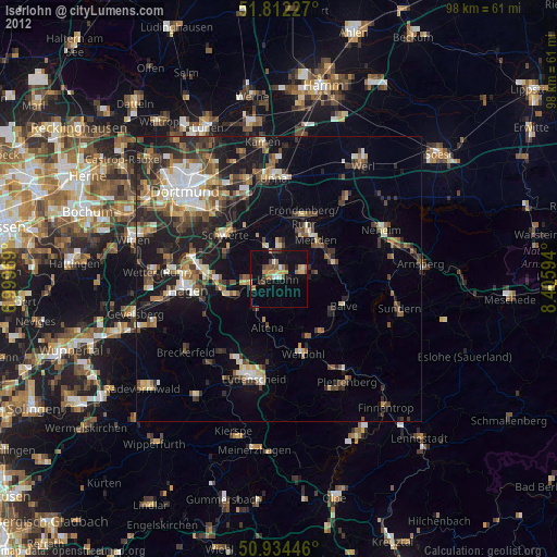
» Earth at Night: Flat Maps 2012, 2016