Schwaig night lights from space
Night Light of Schwaig (Bavaria) from space (Germany) Src. Average luminocity for 10x10km area is 23.1597% and for 50x50km: 14.4822%.
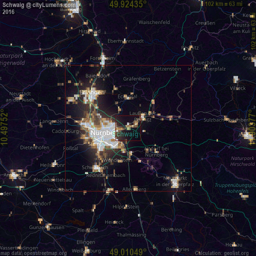
Analysis of Schwaig night lights 2016
Square area 10x10 km:
 1.4%
1.4%90-99
2.1%80-89
2.38%70-79
0.84%60-69
4.2%50-59
3.5%40-49
5.18%30-39
5.04%20-29
11.62%10-19
23.81%0-9
39.92%Square area 50x50 km:
2.93%90-99
2.45%80-89
1.21%70-79
1.22%60-69
1.76%50-59
2.03%40-49
1.99%30-39
2.22%20-29
4.36%10-19
8.15%0-9
71.66%Clear (daylight) street map image can be seen on geolist.org.
Map coordinates:
49° 55' 27.7" North, 10° 29' 51.1" East
49° 28' 10.4" North, 11° 12' 2.3" East
49° 0' 37.8" North, 11° 54' 13.6" East
Some cities around Schwaig sort by population:
• Nürnberg
9.1 km =5.7 mi,  259°
259°
• Lauf an der Pegnitz
7.7 km =4.8 mi,  50°
50°
• Wendelstein
13.5 km =8.4 mi,  195°
195°
• Feucht
10.5 km =6.5 mi,  174°
174°
• Röthenbach an der Pegnitz
3.3 km =2.1 mi,  62°
62°
• Wetzendorf
11.5 km =7.1 mi,  270°
270°
• Heroldsberg
7.7 km =4.8 mi,  335°
335°
• Leinburg
8.1 km =5 mi,  104°
104°
2835421 (p: 8,340)
Sources (retrieved 2019-11-25):
» Earth at Night: Flat Maps 2012, 2016