Wendelstein night lights from space
Night Light of Wendelstein (Bavaria) from space (Germany) Src. Average luminocity for 10x10km area is 16.4078% and for 50x50km: 12.7793%.
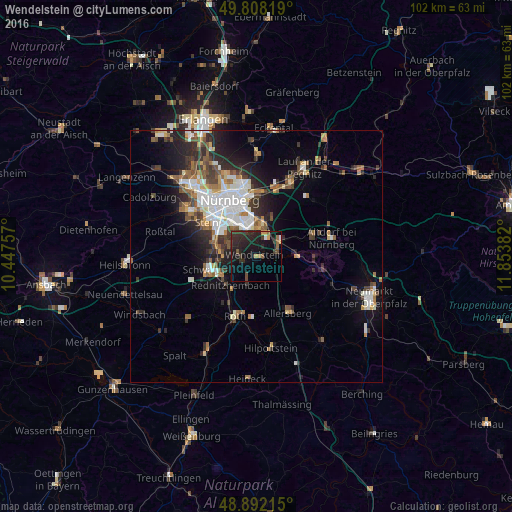
Analysis of Wendelstein night lights 2016
Square area 10x10 km:
 0.67%
0.67%90-99
0.4%80-89
0.4%70-79
2.27%60-69
1.34%50-59
2.41%40-49
2.27%30-39
6.68%20-29
13.24%10-19
20.05%0-9
50.27%Square area 50x50 km:
2.65%90-99
2.22%80-89
0.9%70-79
1.1%60-69
1.62%50-59
1.83%40-49
1.81%30-39
2.06%20-29
3.85%10-19
6.4%0-9
75.55%Clear (daylight) street map image can be seen on geolist.org.
Map coordinates:
49° 48' 29.5" North, 10° 26' 51.3" East
49° 21' 8.3" North, 11° 9' 2.5" East
48° 53' 31.7" North, 11° 51' 13.8" East
Some cities around Wendelstein sort by population:
• Schwabach
9.5 km =5.9 mi,  255°
255°
• Stein
12 km =7.5 mi,  305°
305°
• Feucht
5.3 km =3.3 mi,  60°
60°
• Burgthann
11.7 km =7.3 mi,  90°
90°
• Schwarzenbruck
6.7 km =4.2 mi,  84°
84°
• Rednitzhembach
7.7 km =4.8 mi,  221°
221°
• Pyrbaum
11.7 km =7.3 mi,  122°
122°
• Büchenbach
11.5 km =7.1 mi, 215°
2811292 (p: 16,220)
Sources (retrieved 2019-11-25):
» Earth at Night: Flat Maps 2012, 2016