Feucht night lights from space
Night Light of Feucht (Bavaria) from space (Germany) Src. Average luminocity for 10x10km area is 15.2834% and for 50x50km: 13.7413%.
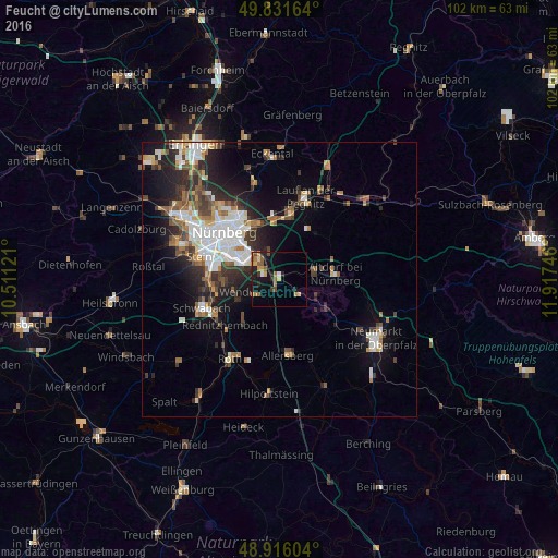
Analysis of Feucht night lights 2016
Square area 10x10 km:
 0.67%
0.67%90-99
0.4%80-89
1.6%70-79
4.14%60-69
2.54%50-59
4.14%40-49
1.34%30-39
1.2%20-29
4.41%10-19
13.64%0-9
65.91%Square area 50x50 km:
2.89%90-99
2.49%80-89
1.08%70-79
1.24%60-69
1.67%50-59
1.88%40-49
1.85%30-39
2.13%20-29
3.97%10-19
6.8%0-9
74.01%Clear (daylight) street map image can be seen on geolist.org.
Map coordinates:
49° 49' 53.9" North, 10° 30' 40.4" East
49° 22' 33.5" North, 11° 12' 51.6" East
48° 54' 57.7" North, 11° 55' 2.9" East
Some cities around Feucht sort by population:
• Wendelstein
5.3 km =3.3 mi,  240°
240°
• Altdorf
10.4 km =6.5 mi,  84°
84°
• Röthenbach an der Pegnitz
12.1 km =7.5 mi,  9°
9°
• Burgthann
7.5 km =4.7 mi,  110°
110°
• Schwarzenbruck
2.9 km =1.8 mi,  133°
133°
• Schwaig
10.5 km =6.5 mi,  354°
354°
• Leinburg
10.9 km =6.8 mi,  39°
39°
• Pyrbaum
10.3 km =6.4 mi,  149°
149°
2927054 (p: 13,482)
Sources (retrieved 2019-11-25):
» Earth at Night: Flat Maps 2012, 2016