Röthenbach an der Pegnitz night lights from space
Night Light of Röthenbach an der Pegnitz (Bavaria) from space (Germany) Src. Average luminocity for 10x10km area is 18.2843% and for 50x50km: 14.0993%.
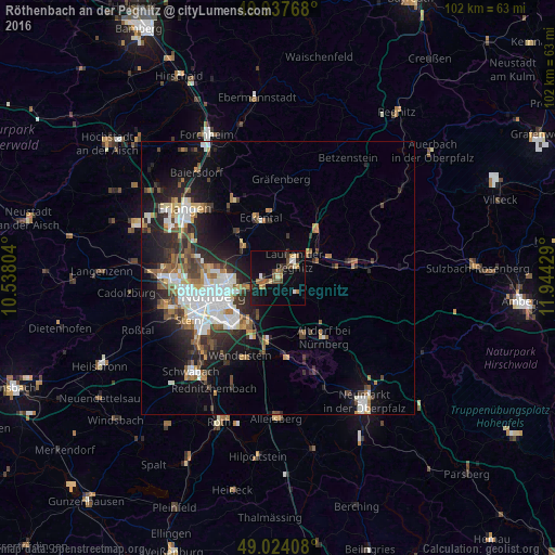
Analysis of Röthenbach an der Pegnitz night lights 2016
Square area 10x10 km:
 0.7%
0.7%90-99
2.24%80-89
1.96%70-79
1.26%60-69
3.08%50-59
3.5%40-49
4.06%30-39
1.4%20-29
2.94%10-19
15.55%0-9
63.31%Square area 50x50 km:
2.92%90-99
2.45%80-89
1.12%70-79
1.17%60-69
1.68%50-59
1.98%40-49
1.93%30-39
2.17%20-29
4.37%10-19
7.94%0-9
72.27%Clear (daylight) street map image can be seen on geolist.org.
Map coordinates:
49° 56' 15.6" North, 10° 32' 16.9" East
49° 28' 58.8" North, 11° 14' 28.2" East
49° 1' 26.7" North, 11° 56' 39.4" East
Some cities around Röthenbach an der Pegnitz sort by population:
• Nürnberg
12.3 km =7.6 mi,  254°
254°
• Lauf an der Pegnitz
4.5 km =2.8 mi,  41°
41°
• Altdorf
13.7 km =8.5 mi,  142°
142°
• Feucht
12.1 km =7.5 mi,  189°
189°
• Schwaig
3.3 km =2.1 mi,  242°
242°
• Schnaittach
11.3 km =7 mi, 40°
• Heroldsberg
8.3 km =5.2 mi,  311°
311°
• Leinburg
6.1 km =3.8 mi,  125°
125°
2844126 (p: 12,224)
Sources (retrieved 2019-11-25):
» Earth at Night: Flat Maps 2012, 2016