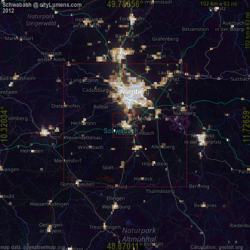
Schwabach night lights from space
Night Light of Schwabach (Bavaria) from space (Germany) Src. Average luminocity for 10x10km area is 22.0909% and for 50x50km: 11.5831%.
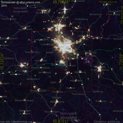
Analysis of Schwabach night lights 2016
Square area 10x10 km:
 2.67%
2.67%90-99
2.14%80-89
0%70-79
2.54%60-69
2.67%50-59
5.35%40-49
3.34%30-39
4.41%20-29
8.56%10-19
25.4%0-9
42.91%Square area 50x50 km:
2.46%90-99
1.92%80-89
0.85%70-79
0.97%60-69
1.46%50-59
1.77%40-49
1.69%30-39
1.94%20-29
3.55%10-19
5.33%0-9
78.04%Clear (daylight) street map image can be seen on geolist.org.
Map coordinates:
49° 47' 11.6" North, 10° 19' 13.2" East
49° 19' 49.7" North, 11° 1' 24.5" East
48° 52' 12.4" North, 11° 43' 35.7" East
Some cities around Schwabach sort by population:
• Roth
10.4 km =6.5 mi,  151°
151°
• Oberasbach
11.3 km =7 mi,  335°
335°
• Wendelstein
9.5 km =5.9 mi,  75°
75°
• Stein
9.5 km =5.9 mi,  356°
356°
• Roßtal
12.2 km =7.6 mi,  306°
306°
• Rednitzhembach
5.2 km =3.2 mi,  128°
128°
• Abenberg
10.7 km =6.6 mi,  203°
203°
• Büchenbach
7.4 km =4.6 mi,  159°
159°
2835537 (p: 38,554)
Sources (retrieved 2019-11-25):
» Earth at Night: Flat Maps 2012, 2016