Nalbach night lights from space
Night Light of Nalbach (Saarland) from space (Germany) Src. Average luminocity for 10x10km area is 23.2246% and for 50x50km: 13.0251%.
Analysis of Nalbach night lights 2016
Square area 10x10 km:
 5.61%
5.61%90-99
5.08%80-89
0.94%70-79
1.2%60-69
1.87%50-59
3.07%40-49
5.21%30-39
2.01%20-29
4.01%10-19
16.98%0-9
54.01%Square area 50x50 km:
1.82%90-99
2%80-89
0.77%70-79
1.19%60-69
1.69%50-59
2.16%40-49
2.23%30-39
2.73%20-29
5.58%10-19
10.06%0-9
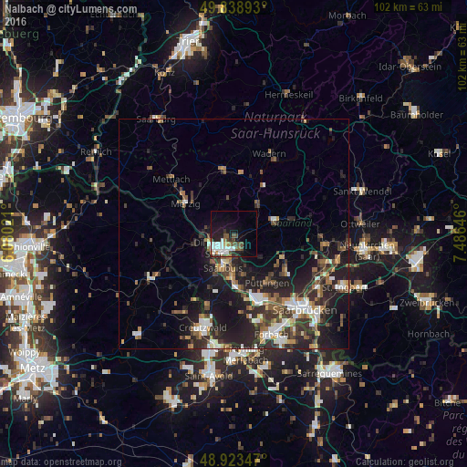
69.76%Clear (daylight) street map image can be seen on geolist.org.
Map coordinates:
49° 50' 20.1" North, 6° 4' 48.8" East
49° 22' 60" North, 6° 46' 60" East
48° 55' 24.5" North, 7° 29' 11.3" East
Some cities around Nalbach sort by population:
• Saarlouis
8.1 km =5 mi,  196°
196°
• Dillingen
5.1 km =3.2 mi,  232°
232°
• Schwalbach
9.6 km =6 mi,  165°
165°
• Schmelz
7.4 km =4.6 mi,  40°
40°
• Beckingen
6.3 km =3.9 mi,  287°
287°
• Saarwellingen
3.6 km =2.2 mi,  154°
154°
• Wallerfangen
8.1 km =5 mi,  220°
220°
• Ensdorf
9.3 km =5.8 mi,  180°
180°
2867127 (p: 9,715)
Sources (retrieved 2019-11-25):
» Earth at Night: Flat Maps 2012, 2016