Hitzacker night lights from space
Night Light of Hitzacker (Lower Saxony) from space (Germany) Src. Average luminocity for 10x10km area is 0% and for 50x50km: 0.1606%.
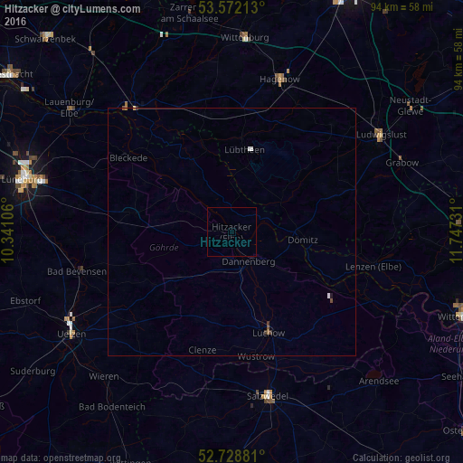
Analysis of Hitzacker night lights 2016
Square area 10x10 km:
 0%
0%90-99
0%80-89
0%70-79
0%60-69
0%50-59
0%40-49
0%30-39
0%20-29
0%10-19
0%0-9
100%Square area 50x50 km:
0.04%90-99
0.02%80-89
0.01%70-79
0.01%60-69
0.02%50-59
0.04%40-49
0.03%30-39
0.07%20-29
0%10-19
0.02%0-9
99.75%Clear (daylight) street map image can be seen on geolist.org.
Map coordinates:
53° 34' 19.7" North, 10° 20' 27.8" East
53° 9' 9.1" North, 11° 2' 39" East
52° 43' 43.7" North, 11° 44' 50.3" East
Some cities around Hitzacker sort by population:
• Salzwedel
33.9 km =21.1 mi,  167°
167°
• Hagenow
32.5 km =20.2 mi,  17°
17°
• Ludwigslust
36 km =22.4 mi,  56°
56°
• Boizenburg
33.2 km =20.6 mi,  320°
320°
• Bleckede
25.7 km =16 mi,  306°
306°
• Lüchow
21.8 km =13.5 mi,  160°
160°
• Bad Bevensen
31.9 km =19.8 mi,  255°
255°
• Dannenberg
6.9 km =4.3 mi,  153°
153°
2903470 (p: 5,173)
Sources (retrieved 2019-11-25):
» Earth at Night: Flat Maps 2012, 2016