Uelzen night lights from space
Night Light of Uelzen (Lower Saxony) from space (Germany) Src. Average luminocity for 10x10km area is 5.6693% and for 50x50km: 0.2471%.
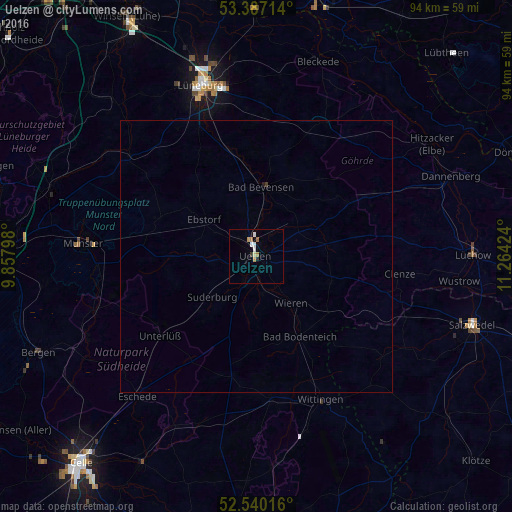
Analysis of Uelzen night lights 2016
Square area 10x10 km:
 1.46%
1.46%90-99
0.66%80-89
0.53%70-79
1.06%60-69
1.46%50-59
0.13%40-49
0%30-39
0.53%20-29
0%10-19
0.53%0-9
93.65%Square area 50x50 km:
0.06%90-99
0.03%80-89
0.02%70-79
0.04%60-69
0.06%50-59
0.01%40-49
0%30-39
0.04%20-29
0%10-19
0.04%0-9
99.71%Clear (daylight) street map image can be seen on geolist.org.
Map coordinates:
53° 23' 13.7" North, 9° 51' 28.7" East
52° 57' 56.6" North, 10° 33' 40" East
52° 32' 24.6" North, 11° 15' 51.3" East
Some cities around Uelzen sort by population:
• Lüneburg
33.2 km =20.6 mi,  342°
342°
• Munster
31.8 km =19.8 mi,  274°
274°
• Wittingen
29 km =18 mi,  156°
156°
• Bad Bevensen
12.7 km =7.9 mi,  6°
6°
• Faßberg
27.4 km =17 mi,  254°
254°
• Bienenbüttel
20.2 km =12.6 mi,  345°
345°
• Reppenstedt
34.6 km =21.5 mi, 335°
• Ebstorf
11.8 km =7.3 mi,  305°
305°
2820456 (p: 34,996)
Sources (retrieved 2019-11-25):
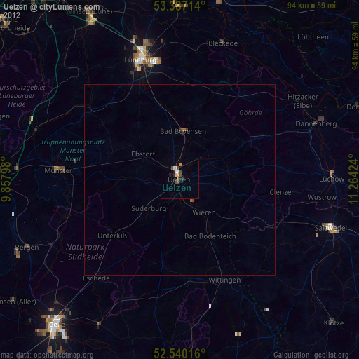
» Earth at Night: Flat Maps 2012, 2016