Schwanewede night lights from space
Night Light of Schwanewede (Lower Saxony) from space (Germany) Src. Average luminocity for 10x10km area is 5.8902% and for 50x50km: 9.6279%.
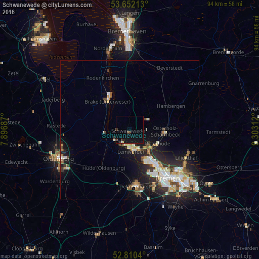
Analysis of Schwanewede night lights 2016
Square area 10x10 km:
 0.13%
0.13%90-99
0.38%80-89
0%70-79
0%60-69
0.51%50-59
1.14%40-49
1.26%30-39
0.76%20-29
1.01%10-19
11.62%0-9
83.21%Square area 50x50 km:
1.69%90-99
2.12%80-89
0.84%70-79
1.03%60-69
1.12%50-59
0.91%40-49
1.39%30-39
1.14%20-29
3.16%10-19
6.04%0-9
80.56%Clear (daylight) street map image can be seen on geolist.org.
Map coordinates:
53° 39' 7.7" North, 7° 53' 48.7" East
53° 13' 60" North, 8° 36' 0" East
52° 48' 37.4" North, 9° 18' 11.2" East
Some cities around Schwanewede sort by population:
• Vegesack
7.5 km =4.7 mi,  171°
171°
• Burglesum
9.6 km =6 mi,  141°
141°
• Osterholz-Scharmbeck
13 km =8.1 mi,  93°
93°
• Brake (Unterweser)
13.6 km =8.5 mi,  325°
325°
• Hude
16.7 km =10.4 mi,  213°
213°
• Ritterhude
10.6 km =6.6 mi,  121°
121°
• Elsfleth
9.6 km =6 mi,  272°
272°
• Lemwerder
7.5 km =4.7 mi, 171°
2835260 (p: 20,015)
Sources (retrieved 2019-11-25):
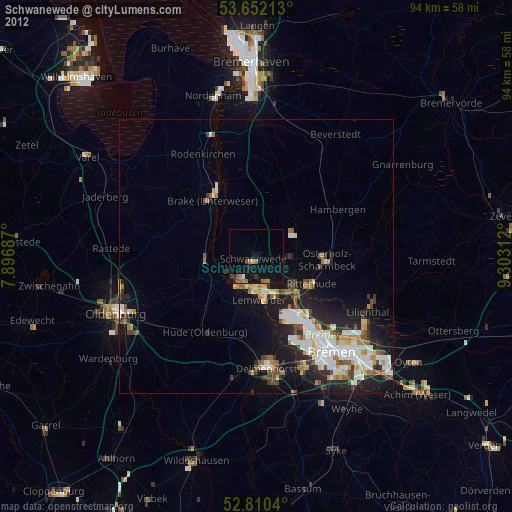
» Earth at Night: Flat Maps 2012, 2016