Rastatt night lights from space
Night Light of Rastatt (Baden-Württemberg) from space (Germany) Src. Average luminocity for 10x10km area is 32.3253% and for 50x50km: 15.0137%.
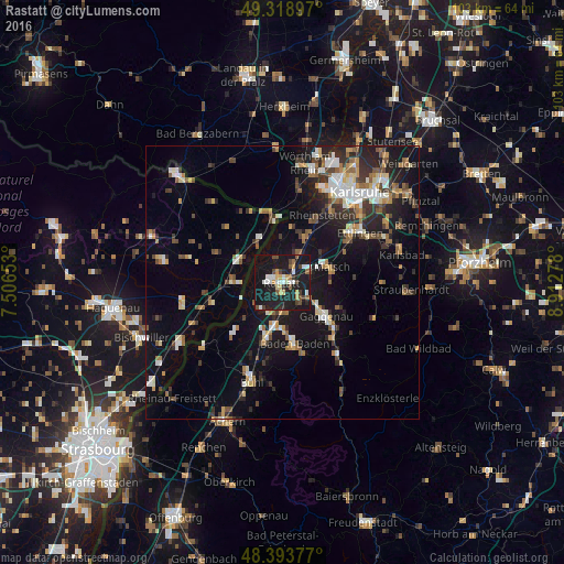
Analysis of Rastatt night lights 2016
Square area 10x10 km:
 4.69%
4.69%90-99
5.54%80-89
2.56%70-79
4.26%60-69
0.71%50-59
4.4%40-49
5.97%30-39
2.56%20-29
7.39%10-19
56.11%0-9
5.82%Square area 50x50 km:
1.82%90-99
2.25%80-89
1.41%70-79
1.73%60-69
1.69%50-59
2.06%40-49
2.16%30-39
2.44%20-29
3.61%10-19
13.05%0-9
67.8%Clear (daylight) street map image can be seen on geolist.org.
Map coordinates:
49° 19' 8.3" North, 7° 30' 23.5" East
48° 51' 30.6" North, 8° 12' 34.7" East
48° 23' 37.6" North, 8° 54' 46" East
Some cities around Rastatt sort by population:
• Gaggenau
11.1 km =6.9 mi,  125°
125°
• Malsch
9.5 km =5.9 mi,  73°
73°
• Durmersheim
9.3 km =5.8 mi,  26°
26°
• Sinzheim
10.7 km =6.6 mi,  197°
197°
• Rheinau
2 km =1.2 mi,  317°
317°
• Kuppenheim
4.7 km =2.9 mi,  136°
136°
• Muggensturm
5.5 km =3.4 mi,  80°
80°
• Bietigheim
6.4 km =4 mi, 28°
2850257 (p: 47,906)
Sources (retrieved 2019-11-25):
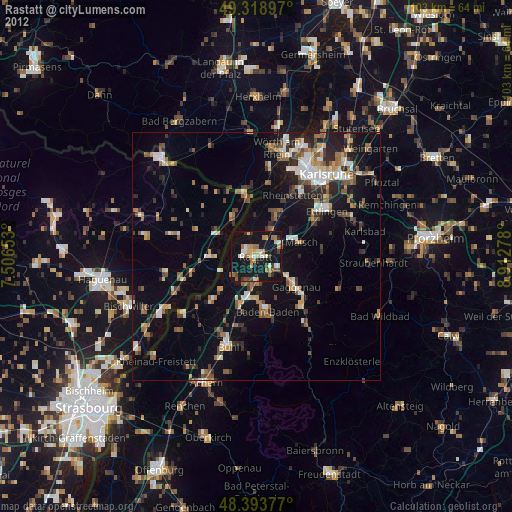
» Earth at Night: Flat Maps 2012, 2016