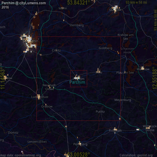
Parchim night lights from space
Night Light of Parchim (Mecklenburg-Vorpommern) from space (Germany) Src. Average luminocity for 10x10km area is 4.791% and for 50x50km: 0.5251%.
Analysis of Parchim night lights 2016
Square area 10x10 km:
 0.93%
0.93%90-99
1.19%80-89
0%70-79
0%60-69
0.93%50-59
0.93%40-49
1.85%30-39
0%20-29
0%10-19
0%0-9
94.18%Square area 50x50 km:
0.04%90-99
0.05%80-89
0.02%70-79
0.06%60-69
0.1%50-59
0.2%40-49
0.16%30-39
0.06%20-29
0.1%10-19
0.03%0-9
99.2%Clear (daylight) street map image can be seen on geolist.org.
Map coordinates:
53° 50' 35.6" North, 11° 8' 44.3" East
53° 25' 34.7" North, 11° 50' 55.5" East
53° 0' 19" North, 12° 33' 6.8" East
Some cities around Parchim sort by population:
• Schwerin
36.6 km =22.7 mi,  308°
308°
• Ludwigslust
25.7 km =16 mi,  245°
245°
• Paulsstadt
37.3 km =23.2 mi, 307°
• Karstädt
30.2 km =18.8 mi,  193°
193°
• Neustadt-Glewe
17.8 km =11.1 mi, 252°
• Lübz
12.6 km =7.8 mi,  71°
71°
• Grabow
24.9 km =15.5 mi,  229°
229°
• Plau am See
27.6 km =17.1 mi,  82°
82°
2855441 (p: 19,161)
Sources (retrieved 2019-11-25):
» Earth at Night: Flat Maps 2012, 2016