Schwerin night lights from space
Night Light of Schwerin (Mecklenburg-Vorpommern) from space (Germany) Src. Average luminocity for 10x10km area is 30.9747% and for 50x50km: 2.0896%.
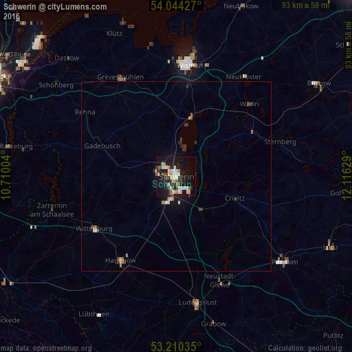
Analysis of Schwerin night lights 2016
Square area 10x10 km:
 4.67%
4.67%90-99
7.95%80-89
3.91%70-79
1.89%60-69
2.65%50-59
3.54%40-49
3.91%30-39
2.02%20-29
6.44%10-19
36.74%0-9
26.26%Square area 50x50 km:
0.24%90-99
0.39%80-89
0.2%70-79
0.17%60-69
0.22%50-59
0.28%40-49
0.22%30-39
0.33%20-29
0.49%10-19
1.98%0-9
95.48%Clear (daylight) street map image can be seen on geolist.org.
Map coordinates:
54° 2' 39.4" North, 10° 42' 36.1" East
53° 37' 45.7" North, 11° 24' 47.4" East
53° 12' 37.3" North, 12° 6' 58.6" East
Some cities around Schwerin sort by population:
• Wismar
29.4 km =18.3 mi,  5°
5°
• Weststadt
1.3 km =0.8 mi,  297°
297°
• Hagenow
26.4 km =16.4 mi,  213°
213°
• Grevesmühlen
29.8 km =18.5 mi,  330°
330°
• Lankow
3.7 km =2.3 mi,  308°
308°
• Paulsstadt
0.7 km =0.4 mi, 301°
• Gadebusch
21.1 km =13.1 mi,  292°
292°
• Wittenburg
25.9 km =16.1 mi,  238°
238°
2834282 (p: 96,641)
Sources (retrieved 2019-11-25):
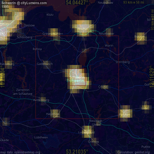
» NASA, Earths city lights 1995
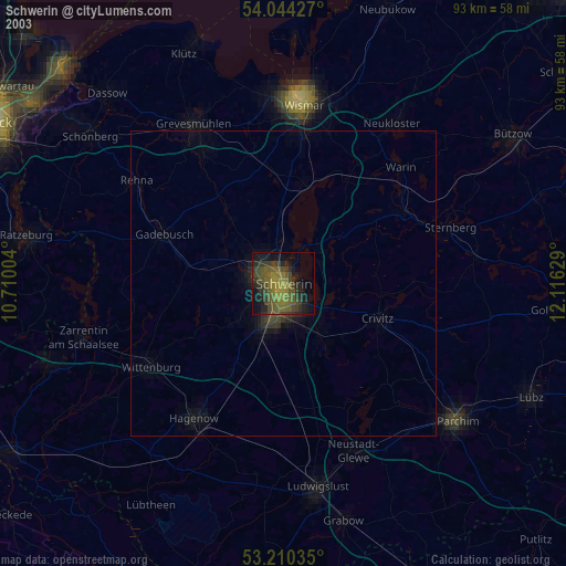
» NASA city lights 2003
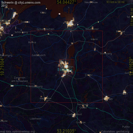
» Earth at Night: Flat Maps 2012, 2016