Lübz night lights from space
Night Light of Lübz (Mecklenburg-Vorpommern) from space (Germany) Src. Average luminocity for 10x10km area is 2.0225% and for 50x50km: 0.3055%.
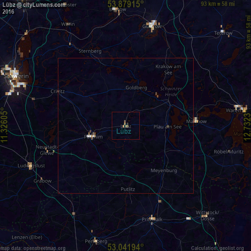
Analysis of Lübz night lights 2016
Square area 10x10 km:
 0%
0%90-99
0%80-89
0%70-79
0.53%60-69
0.53%50-59
1.19%40-49
0.4%30-39
0%20-29
0.53%10-19
0.53%0-9
96.3%Square area 50x50 km:
0.04%90-99
0.05%80-89
0%70-79
0.02%60-69
0.06%50-59
0.08%40-49
0.13%30-39
0.02%20-29
0.03%10-19
0.02%0-9
99.56%Clear (daylight) street map image can be seen on geolist.org.
Map coordinates:
53° 52' 44.9" North, 11° 19' 33.8" East
53° 27' 45.4" North, 12° 1' 45" East
53° 2' 31" North, 12° 43' 56.3" East
Some cities around Lübz sort by population:
• Güstrow
38.4 km =23.9 mi,  14°
14°
• Parchim
12.6 km =7.8 mi,  251°
251°
• Pritzwalk
36.1 km =22.4 mi,  164°
164°
• Ludwigslust
38.3 km =23.8 mi, 247°
• Malchow
26 km =16.2 mi,  87°
87°
• Neustadt-Glewe
30.4 km =18.9 mi, 252°
• Grabow
36.9 km =22.9 mi,  236°
236°
• Plau am See
15.5 km =9.6 mi, 91°
2875558 (p: 6,355)
Sources (retrieved 2019-11-25):
» Earth at Night: Flat Maps 2012, 2016