Langwedel night lights from space
Night Light of Langwedel (Lower Saxony) from space (Germany) Src. Average luminocity for 10x10km area is 0.0503% and for 50x50km: 4.4687%.
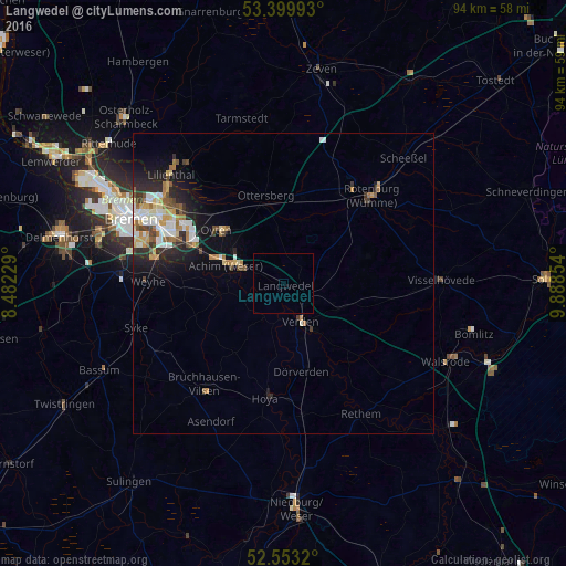
Analysis of Langwedel night lights 2016
Square area 10x10 km:
 0%
0%90-99
0%80-89
0%70-79
0%60-69
0%50-59
0%40-49
0%30-39
0%20-29
0%10-19
0%0-9
100%Square area 50x50 km:
0.74%90-99
0.88%80-89
0.42%70-79
0.63%60-69
0.66%50-59
0.5%40-49
0.51%30-39
0.44%20-29
1.36%10-19
2.49%0-9
91.37%Clear (daylight) street map image can be seen on geolist.org.
Map coordinates:
53° 23' 59.7" North, 8° 28' 56.2" East
52° 58' 43.1" North, 9° 11' 7.5" East
52° 33' 11.5" North, 9° 53' 18.7" East
Some cities around Langwedel sort by population:
• Achim
11.4 km =7.1 mi,  290°
290°
• Verden
7 km =4.3 mi,  151°
151°
• Rotenburg
21.1 km =13.1 mi,  45°
45°
• Oyten
13.8 km =8.6 mi,  305°
305°
• Ottersberg
14.9 km =9.3 mi,  349°
349°
• Kirchlinteln
9.8 km =6.1 mi,  114°
114°
• Dörverden
14.7 km =9.1 mi,  167°
167°
• Sottrum
15.7 km =9.8 mi,  11°
11°
2880547 (p: 14,755)
Sources (retrieved 2019-11-25):
» Earth at Night: Flat Maps 2012, 2016