Oranienburg night lights from space
Night Light of Oranienburg (Brandenburg) from space (Germany) Src. Average luminocity for 10x10km area is 15.149% and for 50x50km: 13.7614%.
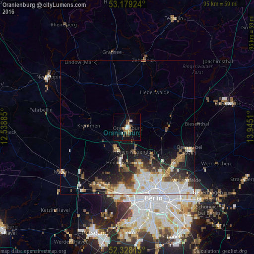
Analysis of Oranienburg night lights 2016
Square area 10x10 km:
 2.27%
2.27%90-99
1.77%80-89
0.25%70-79
1.64%60-69
2.4%50-59
3.16%40-49
2.9%30-39
2.02%20-29
0%10-19
12.75%0-9
70.83%Square area 50x50 km:
3.58%90-99
3.25%80-89
1%70-79
1.06%60-69
1.4%50-59
1.72%40-49
1.85%30-39
1.9%20-29
2.64%10-19
5.9%0-9
75.7%Clear (daylight) street map image can be seen on geolist.org.
Map coordinates:
53° 10' 45.3" North, 12° 32' 19.9" East
52° 45' 20.8" North, 13° 14' 31.1" East
52° 19' 41.3" North, 13° 56' 42.4" East
Some cities around Oranienburg sort by population:
• Hennigsdorf
13.6 km =8.5 mi,  190°
190°
• Hohen Neuendorf
9.2 km =5.7 mi,  164°
164°
• Wandlitz
14.6 km =9.1 mi,  96°
96°
• Frohnau
14 km =8.7 mi,  166°
166°
• Velten
8.4 km =5.2 mi,  212°
212°
• Kremmen
14.6 km =9.1 mi,  272°
272°
• Birkenwerder
7.6 km =4.7 mi, 161°
• Leegebruch
4.9 km =3 mi,  222°
222°
2857129 (p: 40,793)
Sources (retrieved 2019-11-25):
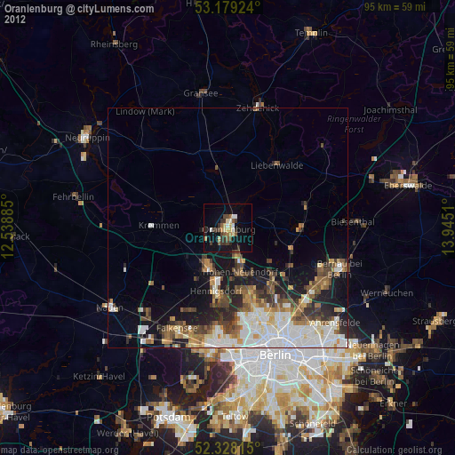
» Earth at Night: Flat Maps 2012, 2016