Oldenburg in Holstein night lights from space
Night Light of Oldenburg in Holstein (Schleswig-Holstein) from space (Germany) Src. Average luminocity for 10x10km area is 1.4649% and for 50x50km: 0.7023%.
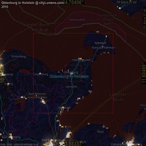
Analysis of Oldenburg in Holstein night lights 2016
Square area 10x10 km:
 0%
0%90-99
0%80-89
0%70-79
0%60-69
0.5%50-59
1.13%40-49
0.88%30-39
0%20-29
0%10-19
0%0-9
97.49%Square area 50x50 km:
0.03%90-99
0.07%80-89
0.03%70-79
0.06%60-69
0.15%50-59
0.2%40-49
0.18%30-39
0.29%20-29
0.35%10-19
0.01%0-9
98.65%Clear (daylight) street map image can be seen on geolist.org.
Map coordinates:
54° 42' 14.6" North, 10° 11' 54.4" East
54° 17' 44.7" North, 10° 54' 5.6" East
53° 53' 0.1" North, 11° 36' 16.9" East
Some cities around Oldenburg in Holstein sort by population:
• Eutin
25.8 km =16 mi,  227°
227°
• Neustadt in Holstein
21.7 km =13.5 mi,  195°
195°
• Fehmarn
24.6 km =15.3 mi,  50°
50°
• Heiligenhafen
9.7 km =6 mi,  31°
31°
• Grömitz
16.8 km =10.4 mi,  165°
165°
• Burg auf Fehmarn
24.7 km =15.3 mi, 51°
• Lütjenburg
20.3 km =12.6 mi,  268°
268°
• Lensahn
8.9 km =5.5 mi,  187°
187°
2857451 (p: 9,940)
Sources (retrieved 2019-11-25):
» Earth at Night: Flat Maps 2012, 2016